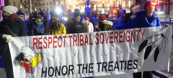
This section outlines the ideas and approaches for the use of Conservation GIS as a tool to support and strengthen tribal sovereignty. In this sense, sovereignty includes the control and management not just of land, but information about that land and sensitive aspects of the tribal landscape such as burial sites and sacred areas. The experiences of the Conservation GIS Community with sensitive and endangered species and the conflicts and controversies about how to best manage information about such resources, to help ensure their protection, are thought to be useful in this new context. The focus of groups like the Society for Conservation GIS on service, training and “do no harm” are also thought to be appropriate in this instance, where the focus necessarily must be on building skill and capacity in traditional communities to be able to conduct all aspects of conservation GIS on their own, from data collection & analysis to decisionmaking & monitoring. (photo: Medicine Wheel Solidarity Network and Democracy Center protest on Boston Common)