Conservation, the protection, stewardship and love of our green & blue home, is critical to human survival on that precious planet. As populations expand and cultures urbanize it becomes all too easy to forget this fundamental truth, lost in the digital firehose of social media and selfies. To me, the word “traditional” and “conservative” both have the same roots in the conservation-based ethics that have united farmers, nomads, families and villages for many millenia of human life on earth. Conservation relies on traditional, conservative family values of caring for what you have and where you live so that your children can live there too. Conservation is both forward-looking and deeply historical as it tries to understand and protect undisturbed natural processes. As modern society increasingly loses its sense of place and it’s respect for history and ancestors it’s not hard to understand the profound ignorance that follows, allowing so many to question basic truths about nature and climate that long ago guided every aspect of their ancestor’s daily lives.
In the very first 1989 proposal for what later became the Society for Conservation GIS and the Esri Conservation Program, tribal & indigenous communities were envisioned as being a major part of a planned global foundation for Conservation GIS. As outlined in the proposal, indigenous communities possessed critical landscape-level knowledge not normally found in western science but extremely important to the success of any local conservation work. At the same time, tribal organizations were increasingly fighting to regain sovereign title to treaty lands. The ability to present more formal maps and ground-based accounts in court hearings, of the type that conservation GIS practitioners often did, would be important for ensuring legal success. The common pattern of colonial expansion worldwide pushed many indigenous people out into areas marginal to European settlement. These same areas now often represent wild and natural areas of conservation importance. Therefore, as tribal organizations achieved success in regaining land title to what were often large tracts of rural or wild land, it seemed important to be able to build their capacity with GIS technology and western conservation science to help with their new land management responsibilities.
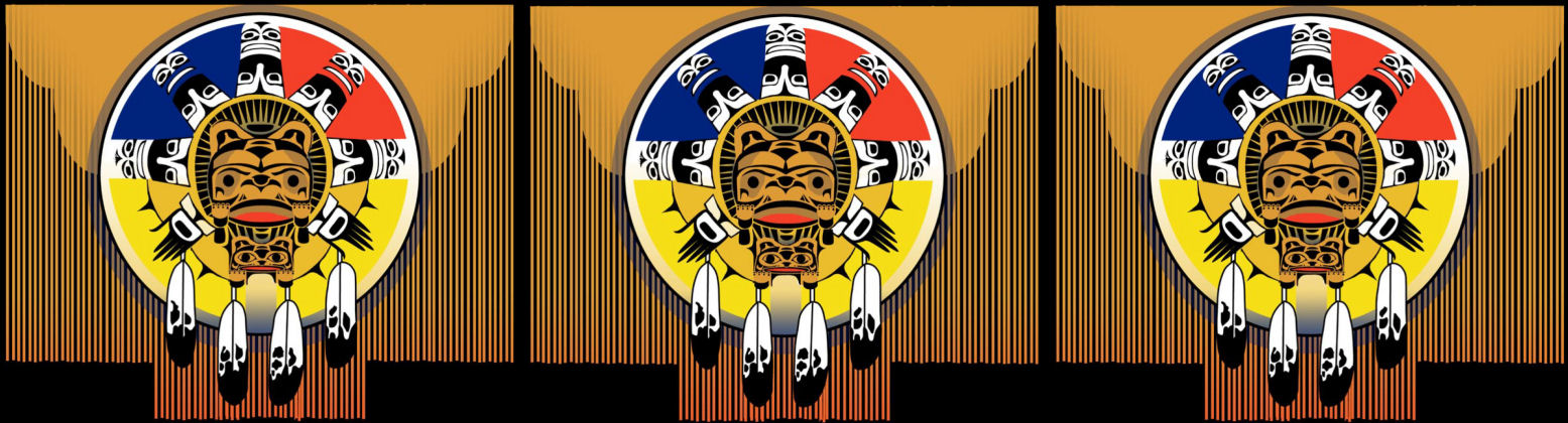
These concepts led the first grants of the Esri Conservation in 1990 and the first SCGIS Scholarship program in 1998 to outreach as much to domestic and tribal organizations as it did to international conservation. This focus has helped SCGIS scholarships include tribal & traditional scholars from many different countries over the 20 years it has been running. This section and the “Traditional Ecological Knowledge” tab highlight some of the scholars' work. In 2018, a tribal & traditional knowledge theme was adopted for the first time at the SCGIS Annual International Conference, and a renewed effort to include US Tribal & Canadian First Nations was launched, which resulted in the ongoing organizational work and material found in the “Tribal Sovereignty” tab. The original concepts about the role and importance of Conservation GIS, in conservation planning and management in traditional communities around the world, form the focus of the “Traditional Communities GIS” tab. (image above is the 2004 scgis logo, co-designed with James Rattling Leaf of Sinte Gleska University, to honor the wide variety of tribal groups then becoming active in GIS. It also served as the logo for one of the first dedicated tribal GIS tracks at the annual Esri User Conference)