- Home
- :
- All Communities
- :
- Products
- :
- ArcGIS StoryMaps
- :
- Classic Esri Story Maps Questions
- :
- Basemap imagery WAY outdated.
- Subscribe to RSS Feed
- Mark Topic as New
- Mark Topic as Read
- Float this Topic for Current User
- Bookmark
- Subscribe
- Mute
- Printer Friendly Page
- Mark as New
- Bookmark
- Subscribe
- Mute
- Subscribe to RSS Feed
- Permalink
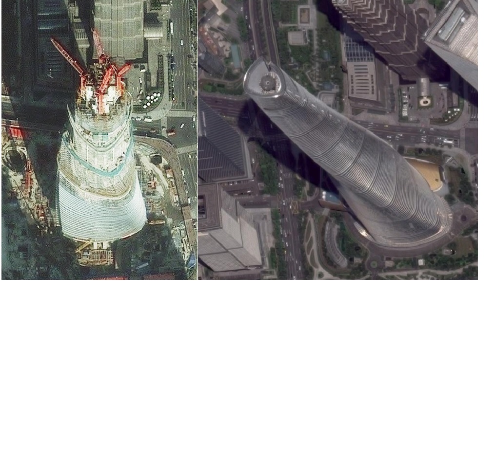
My Story Map brings users directly to skyscraper sites around the world. The imagery looks to be three years old or better. Google Maps imagery is much more current. Gotta tell ya, this is really killing my ardor for #storymaps When will the imagery be updated?
Solved! Go to Solution.
Accepted Solutions
- Mark as New
- Bookmark
- Subscribe
- Mute
- Subscribe to RSS Feed
- Permalink
Hi Jeffery,
I'm not sure what specific areas of the world you are referring to, but new imagery and data are added periodically to all Esri basemaps. You can read about some of the specific additions in the blog posts below, and I believe we will have another deployment of new imagery within the next few weeks.
DigitalGlobe Partners with Esri to update World Imagery | ArcGIS Blog
What’s New in World Imagery Basemap (September 2016) | ArcGIS Blog
You also might be interested in doing some research to see if any of the cities mentioned in your story map have published their own imagery that is more current. You can easily add their imagery services to your web maps and include them in your story map as long as that city's GIS department publishes the services in a standard format.
I hope this is helpful.
Owen
Lead Product Engineer | StoryMaps