- Home
- :
- All Communities
- :
- User Groups
- :
- CAD/GIS Data Integration
- :
- Questions
- :
- Export Annotation to CAD - Label Placement
- Subscribe to RSS Feed
- Mark Topic as New
- Mark Topic as Read
- Float this Topic for Current User
- Bookmark
- Subscribe
- Mute
- Printer Friendly Page
Export Annotation to CAD - Label Placement
- Mark as New
- Bookmark
- Subscribe
- Mute
- Subscribe to RSS Feed
- Permalink
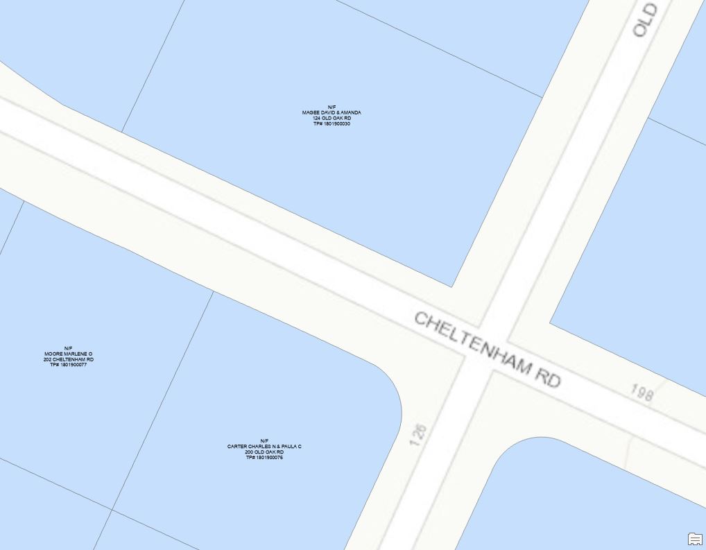
Every so often I get asked by our CAD guy to export parcel owner labels in certain areas of the city in which we will be doing work, as he will be drawing up plans for that project. I use a VBScript label expression on the parcel layer to get the relevant information he needs and in the format that he likes, and when I convert the labels to annotation it appears as he & I want it to look - the text block to be centered and then the center of the text block inserted at the center of each parcel:
IN ARCMAP: IN ARCGIS PRO:

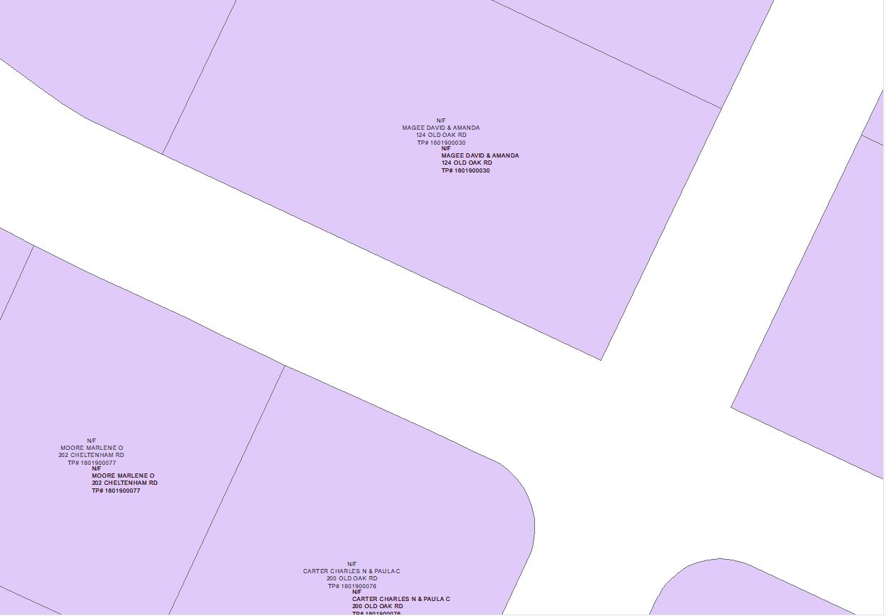
But when I use the Export to CAD GP tool it seems to ignore all the work I've done, more so in ArcGIS Pro, in getting the labels to appear as we want them:
IN ARCMAP: IN ARCGIS PRO:


I've played around with as many settings as I can in converting the labels to annotation and exporting to CAD and don't seem to be getting anywhere. My CAD guy says he can work with it in Civil 3D to get it the way he wants, but it seems like something I should be able to do on my end.
Any ideas on how to get these labels to show up in CAD like they do in both ArcMap & ArcGIS Pro?
- Mark as New
- Bookmark
- Subscribe
- Mute
- Subscribe to RSS Feed
- Permalink
Did you ever have any luck with this?
- Mark as New
- Bookmark
- Subscribe
- Mute
- Subscribe to RSS Feed
- Permalink
Nope, none whatsoever. I didn't have a whole lot of time to devote to this and frankly was at the end of my rope when I posted this. My CAD guy says he can work with what I give him and make it look the way he wants so we have left it here for now.
- Mark as New
- Bookmark
- Subscribe
- Mute
- Subscribe to RSS Feed
- Permalink
Well, it sounds like this is where this might have to end since I do not think there is a real solution for this (at least I do not know of one). Thank you for replying and explaining.
- Mark as New
- Bookmark
- Subscribe
- Mute
- Subscribe to RSS Feed
- Permalink
Bumping this as I've had the nearly the exact same problem. Parcel numbers as annotations in Pro are placed correctly, but move when imported into microstation. Especially weird because non-text/annotation/labels don't seem to have this issue.