Turn on suggestions
Auto-suggest helps you quickly narrow down your search results by suggesting possible matches as you type.
Cancel
- Home
- :
- All Communities
- :
- Developers
- :
- ArcObjects SDK (Retired)
- :
- ArcObjects SDK Questions
- :
- ArcMobile feature class and basemap Spatial refer...
Options
- Subscribe to RSS Feed
- Mark Topic as New
- Mark Topic as Read
- Float this Topic for Current User
- Bookmark
- Subscribe
- Mute
- Printer Friendly Page
ArcMobile feature class and basemap Spatial reference conflict
Subscribe
12-19-2014
12:40 PM
- Mark as New
- Bookmark
- Subscribe
- Mute
- Subscribe to RSS Feed
- Permalink
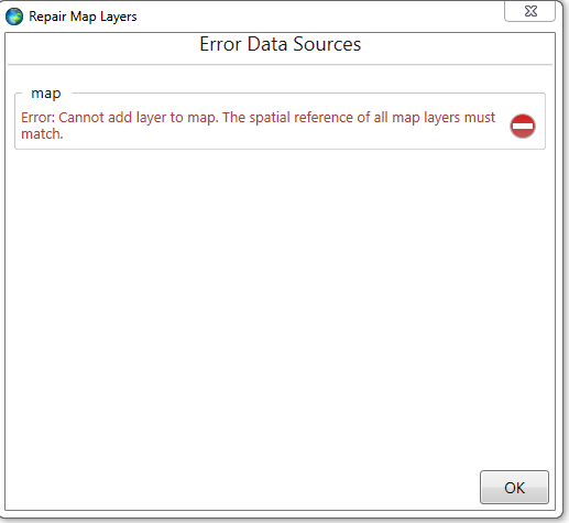
is there a step by step example for creating a simple feature class and offline basemap for ArcMobile that doesn't use ArcServer and doesn't use ArcSDE? I can't seem to get the spatial references correct.
all the examples of building offline basemaps use "WGS 1984 Web Mercator"
but when i use that Coordinate System for the data (point feature classes) the data doesn't return from the mobile device with the correct latitude and longitude
Solved! Go to Solution.
1 Solution
Accepted Solutions
12-19-2014
03:00 PM
- Mark as New
- Bookmark
- Subscribe
- Mute
- Subscribe to RSS Feed
- Permalink
use what I've got... just use
ArcObject CoordinateTransformation to convert!!!
1 Reply
12-19-2014
03:00 PM
- Mark as New
- Bookmark
- Subscribe
- Mute
- Subscribe to RSS Feed
- Permalink
use what I've got... just use
ArcObject CoordinateTransformation to convert!!!