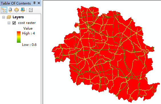
Hi there, I want to use traffic network to calculate the time-cost distance.
I valued the 1*1Km fishnet by the time cost (minutes per kilometer) of each kind of road, and the fishnet was converted into cost raster. Then I had a distance raster. But I don't understand the meaning of the distance raster' pixel value!? How can I use the distance raster to draw a map of time-distance of a city?

