Hi there, I am pretty new to ArcGIS and hope this is not too basic of a question.
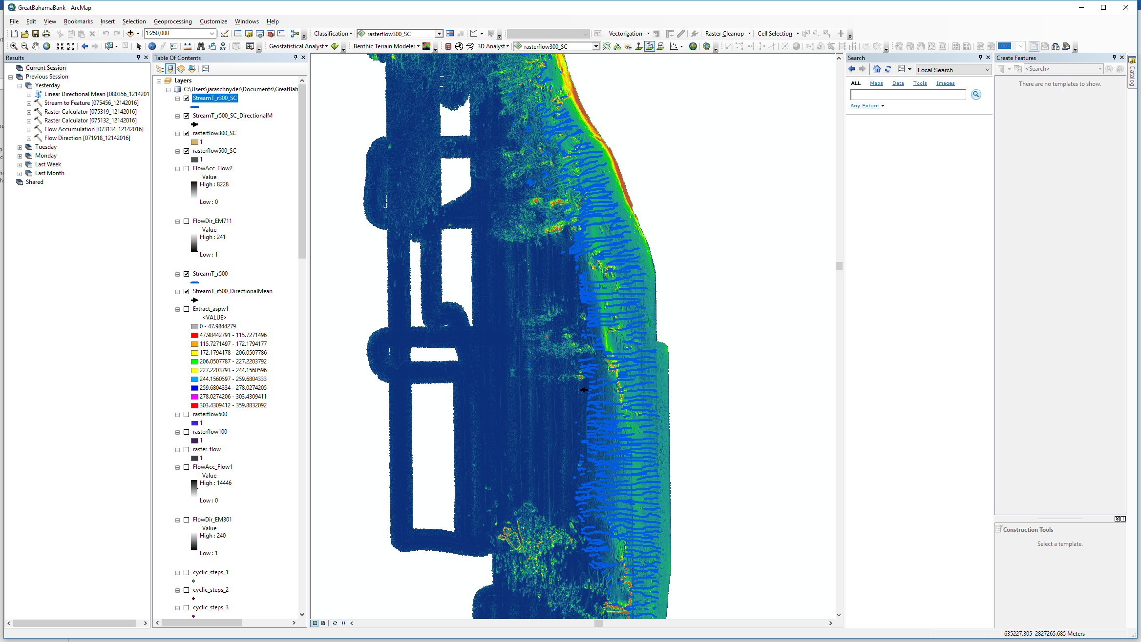
I used the Flow Direction, Flow Accumulation, and Stream to Feature tools in order to map out the furrows along the slope of a bathymetric raster dataset. Now I have a Polyline layer on top of my bathymetry. I then used the calculator to get the azimuth of the polylines, in order to plot them in a Rose Diagram to see their orientation with respect to the slope.
I now want to plot those polylines, indicative for my furrows, along the slope along a profile orthogonal to the furrow direction, in order to see if there is regular spacing between them. Any hints how I can do this?
Any help is highly appreciated, thank you!