Turn on suggestions
Auto-suggest helps you quickly narrow down your search results by suggesting possible matches as you type.
Cancel
- Home
- :
- All Communities
- :
- Products
- :
- ArcGIS Spatial Analyst
- :
- ArcGIS Spatial Analyst Questions
- :
- Need very urgent help with LSFactor(USLE)Calculati...
Options
- Subscribe to RSS Feed
- Mark Topic as New
- Mark Topic as Read
- Float this Topic for Current User
- Bookmark
- Subscribe
- Mute
- Printer Friendly Page
Need very urgent help with LSFactor(USLE)Calculation in ArcGis10(get a strange result
Subscribe
3294
2
08-12-2012 10:11 AM
by
Anonymous User
Not applicable
08-12-2012
10:11 AM
- Mark as New
- Bookmark
- Subscribe
- Mute
- Subscribe to RSS Feed
- Permalink
Original User: Julia.Hauczinger
I wanted to calculate the LS Factor of the USLE (Universal Soil Loss Equation) with the tool Raster Calculator in ArcGis 10.
First, I filled my DEM with the tool Fill. (DEM was calculated in UTM)
Second, I calculated the Flow Direction with the Toll Flow Direction.
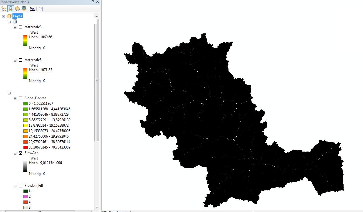
Third, I calculated the Flow Accumulation with my Flow Direction as Inputfile.[ATTACH=CONFIG]16865[/ATTACH]
fourth, I calculated the Slope in Degrees by the Spatial Analyst tool Surface and Slope. [ATTACH=CONFIG]16866[/ATTACH]
fifthly, I used the Equation by Moore and Burch 1986: LS = (Flow Accumulation * Cell Size/22.13)^0.4 * (sin (slope/0.0896))^1.3
sixthly: I typed in the raster calculator the equation:
(Power((("FlowAcc" * 92.46745509) / 22.13),0.4)) * (Power((Sin("Slope_Degree" / 0.0896)),1.3))
But my result look very very strange! There a lot of white areas! The Raster is not like cover areas.... It looks like that every calculated value is seperated... It looks like a dotted map....What did I wrong??
[ATTACH=CONFIG]16867[/ATTACH]
I wanted to calculate the LS Factor of the USLE (Universal Soil Loss Equation) with the tool Raster Calculator in ArcGis 10.
First, I filled my DEM with the tool Fill. (DEM was calculated in UTM)
Second, I calculated the Flow Direction with the Toll Flow Direction.
Third, I calculated the Flow Accumulation with my Flow Direction as Inputfile.[ATTACH=CONFIG]16865[/ATTACH]
fourth, I calculated the Slope in Degrees by the Spatial Analyst tool Surface and Slope. [ATTACH=CONFIG]16866[/ATTACH]
fifthly, I used the Equation by Moore and Burch 1986: LS = (Flow Accumulation * Cell Size/22.13)^0.4 * (sin (slope/0.0896))^1.3
sixthly: I typed in the raster calculator the equation:
(Power((("FlowAcc" * 92.46745509) / 22.13),0.4)) * (Power((Sin("Slope_Degree" / 0.0896)),1.3))
But my result look very very strange! There a lot of white areas! The Raster is not like cover areas.... It looks like that every calculated value is seperated... It looks like a dotted map....What did I wrong??
[ATTACH=CONFIG]16867[/ATTACH]
2 Replies
by
Anonymous User
Not applicable
08-13-2012
05:41 AM
- Mark as New
- Bookmark
- Subscribe
- Mute
- Subscribe to RSS Feed
- Permalink
Original User: jbswain
Initially, based on your screenshots and reported entries. It seems as if the calculation is made with decimals as the decimal and your inputs are with comma as the decimal. What regional settings are you using? I would recommend changing either the syntax of the tool to match the regional settings or making the regional settings match the syntax.
Initially, based on your screenshots and reported entries. It seems as if the calculation is made with decimals as the decimal and your inputs are with comma as the decimal. What regional settings are you using? I would recommend changing either the syntax of the tool to match the regional settings or making the regional settings match the syntax.
03-15-2023
03:22 AM
- Mark as New
- Bookmark
- Subscribe
- Mute
- Subscribe to RSS Feed
- Permalink
you need to first convert your slope degree map to radian and then calculate sin slope