- Home
- :
- All Communities
- :
- Products
- :
- ArcGIS Spatial Analyst
- :
- ArcGIS Spatial Analyst Questions
- :
- How to Flat-Fix a DEM for Flow Analysis
- Subscribe to RSS Feed
- Mark Topic as New
- Mark Topic as Read
- Float this Topic for Current User
- Bookmark
- Subscribe
- Mute
- Printer Friendly Page
How to Flat-Fix a DEM for Flow Analysis
- Mark as New
- Bookmark
- Subscribe
- Mute
- Subscribe to RSS Feed
- Permalink
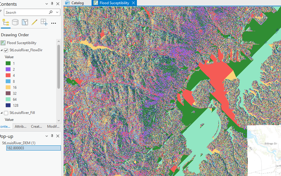
I'm working on writing a tutorial for some of my users to practice flow modeling. I grabbed the mouth of the St. Louis river in Duluth, thinking it would be a topographically interesting area with lots of rivers and streams. So far so good. I downloaded a 1m DEM from the state's database which looks pretty good. I start to run into problems actually running the flow model though.
- Zach
- Mark as New
- Bookmark
- Subscribe
- Mute
- Subscribe to RSS Feed
- Permalink
Through trickery and numpy/arcpy wizardary.
Now... you need to know the size of your raster in terms of rows and columns and the direction in which you want it to point.
As an example, consider a small area, say 5x5 units (so we can see the results).
# -- the delta e0
e0 =np.linspace(0., 10., num=25).reshape(5, 5)  # -- make some fake elevation data

e0  # -- so far so good, but it points north-west
array([[ 0.        ,  0.41666667,  0.83333333,  1.25      ,  1.66666667],
       [ 2.08333333,  2.5       ,  2.91666667,  3.33333333,  3.75      ],
       [ 4.16666667,  4.58333333,  5.        ,  5.41666667,  5.83333333],
       [ 6.25      ,  6.66666667,  7.08333333,  7.5       ,  7.91666667],
       [ 8.33333333,  8.75      ,  9.16666667,  9.58333333, 10.        ]])

e1 = np.flip(e0, axis=1)  # -- cleverly flip it so it points north-east
e1
array([[ 1.66666667,  1.25      ,  0.83333333,  0.41666667,  0.        ],
       [ 3.75      ,  3.33333333,  2.91666667,  2.5       ,  2.08333333],
       [ 5.83333333,  5.41666667,  5.        ,  4.58333333,  4.16666667],
       [ 7.91666667,  7.5       ,  7.08333333,  6.66666667,  6.25      ],
       [10.        ,  9.58333333,  9.16666667,  8.75      ,  8.33333333]])
Now "simply" convert this to a raster using
NumPyArrayToRaster—ArcGIS Pro | Documentation
which gives you the opportunity to define a spatial reference etc (see the help topic's code example.
Add your resultant raster to your DEM which effectively provides a NE underlying slope to all your existing elevation values.
Calculate you stuff.
Now be caution on the elevation difference that you want. In my example I produced a 10 unit elevation difference in a 5x5 unit raster. Be realistic or be dramatic if you want to help nature along or cause torrents of water flow
... sort of retired...