- Home
- :
- All Communities
- :
- Products
- :
- ArcGIS Spatial Analyst
- :
- ArcGIS Spatial Analyst Questions
- :
- How do I derive slope from a very large DEM?
- Subscribe to RSS Feed
- Mark Topic as New
- Mark Topic as Read
- Float this Topic for Current User
- Bookmark
- Subscribe
- Mute
- Printer Friendly Page
How do I derive slope from a very large DEM?
- Mark as New
- Bookmark
- Subscribe
- Mute
- Subscribe to RSS Feed
- Permalink
Hi there,
I'm trying to calculate slope based from a national DEM - USGS 3D Elevation Program (3DEP), found here: 3DEPElevation (ImageServer) - and am having trouble with the spatial analyst geoprocessing tool given the size of the raster. When I try calculating slope in ArcMap Desktop, I get an error message saying that the file is too large. When I use ArcGIS Pro, it processes up to 5% and then stops. I'm using a VM, so bandwidth is not the issue. Does anyone have any tips on processing national DEMs? Or are there any pre-processed national slope files out there that I could download?
Thanks!
- Mark as New
- Bookmark
- Subscribe
- Mute
- Subscribe to RSS Feed
- Permalink
I ran into the same sort of problem recently trying to process just one county worth of imagery. I cannot imagine the cpu and and memory (and probably graphics memory too) to complete a full country. Is there a way you can get the data into manageable chunks?
- Mark as New
- Bookmark
- Subscribe
- Mute
- Subscribe to RSS Feed
- Permalink
All of the other DEMs that I've found are at county-level or similar, which would be a hassle to patch together at the end. Unfortunately, I need a national slope raster to conduct analyses!
- Mark as New
- Bookmark
- Subscribe
- Mute
- Subscribe to RSS Feed
- Permalink
The page you posted suggests you can download the slope map itself, rather than calculating it.
- Mark as New
- Bookmark
- Subscribe
- Mute
- Subscribe to RSS Feed
- Permalink
I just added the url to an arc pro session: not sure how to get the slope data out of it though...
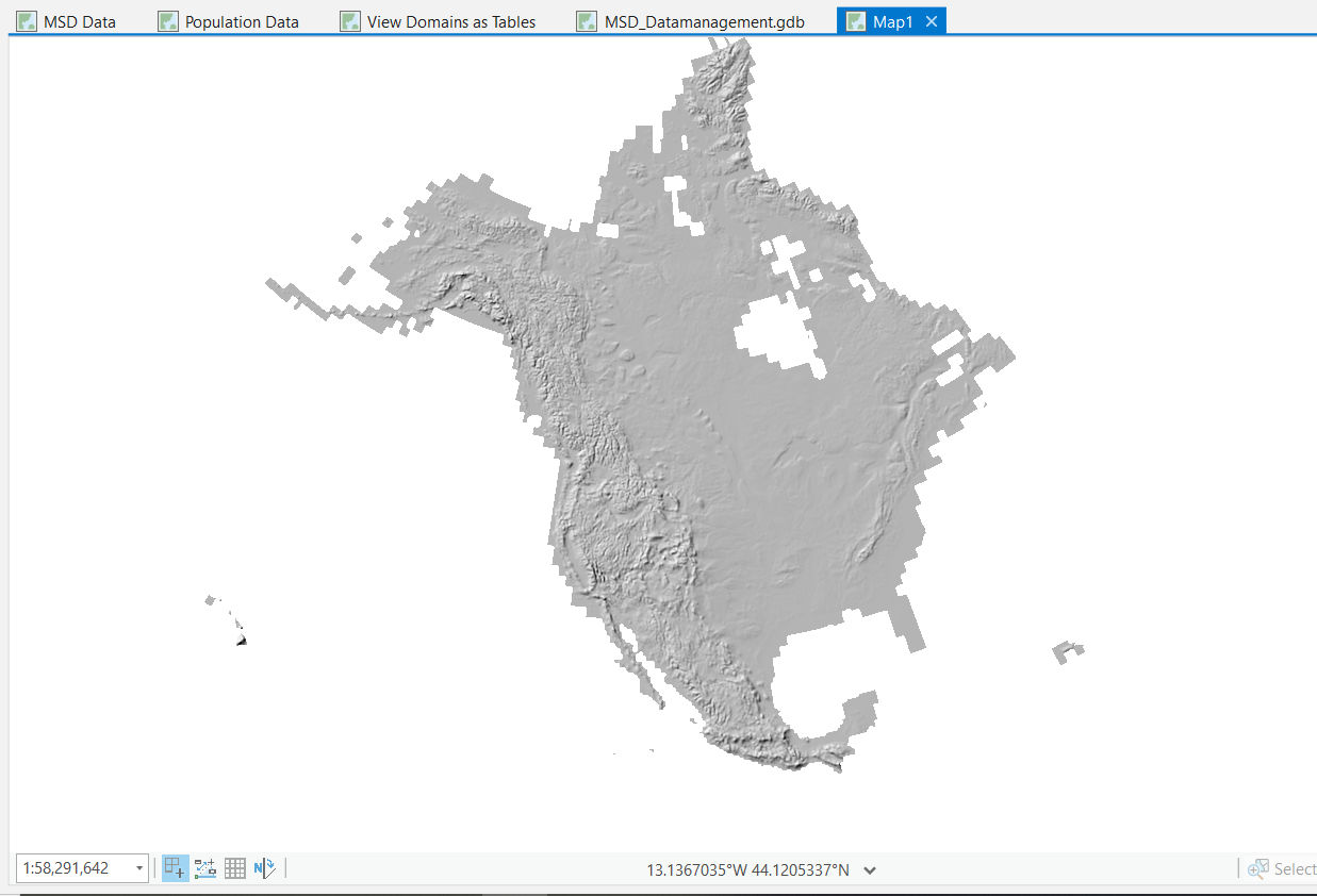
I think I see where Dan lives....
- Mark as New
- Bookmark
- Subscribe
- Mute
- Subscribe to RSS Feed
- Permalink
Are you sure you need full resolution on this? Bandwidth may not be an issue, but processing zillions of cells with any neighborhood operator is just a LOT of data to process. Even if you downloaded tiles on the data it would take you weeks I'm sure.