- Home
- :
- All Communities
- :
- Products
- :
- ArcGIS Pro
- :
- ArcGIS Pro Questions
- :
- Storage Capacity Tool
- Subscribe to RSS Feed
- Mark Topic as New
- Mark Topic as Read
- Float this Topic for Current User
- Bookmark
- Subscribe
- Mute
- Printer Friendly Page
Storage Capacity Tool
- Mark as New
- Bookmark
- Subscribe
- Mute
- Subscribe to RSS Feed
- Permalink
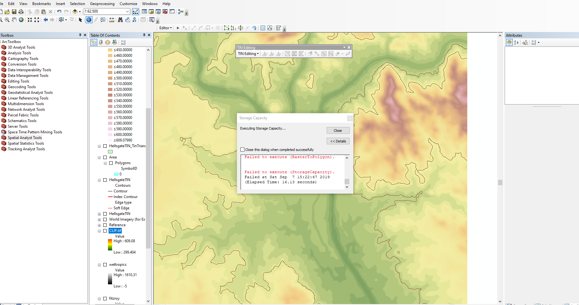
I am using the Spatial Analyst Supplement Extension in Arcmaps, however the storage capacity tool is failing to execute using various DEM's with the appropriate Projected Coordinate System set and AHD set for the Z plane. I have tried TIN files and contour polygons with no luck. Is there any information out there for using the Spatial Supplement tools, specifically the storage capicity tool? This seems to be a limited topic, despite how widespread it seems to be used. I have included a snapshot of my issue.
Any help would be appreciated.
- Mark as New
- Bookmark
- Subscribe
- Mute
- Subscribe to RSS Feed
- Permalink
a surface raster?
Introducing the Spatial Analyst Supplemental tools
limited other information
Introducing the Storage Capacity tool
a bit of a walk-through
http://www.ce.utexas.edu/prof/maidment/CE365KSpr16/Detention/StorageCapacity/StorageCapacity.pdf