- Home
- :
- All Communities
- :
- Products
- :
- ArcGIS Pro
- :
- ArcGIS Pro Questions
- :
- Lidar data for 3D use
- Subscribe to RSS Feed
- Mark Topic as New
- Mark Topic as Read
- Float this Topic for Current User
- Bookmark
- Subscribe
- Mute
- Printer Friendly Page
Lidar data for 3D use
- Mark as New
- Bookmark
- Subscribe
- Mute
- Subscribe to RSS Feed
- Permalink
Hi all,
I have recently started using ArcGIS Pro Scenes and have been working with Mastermap height data, and it's great.
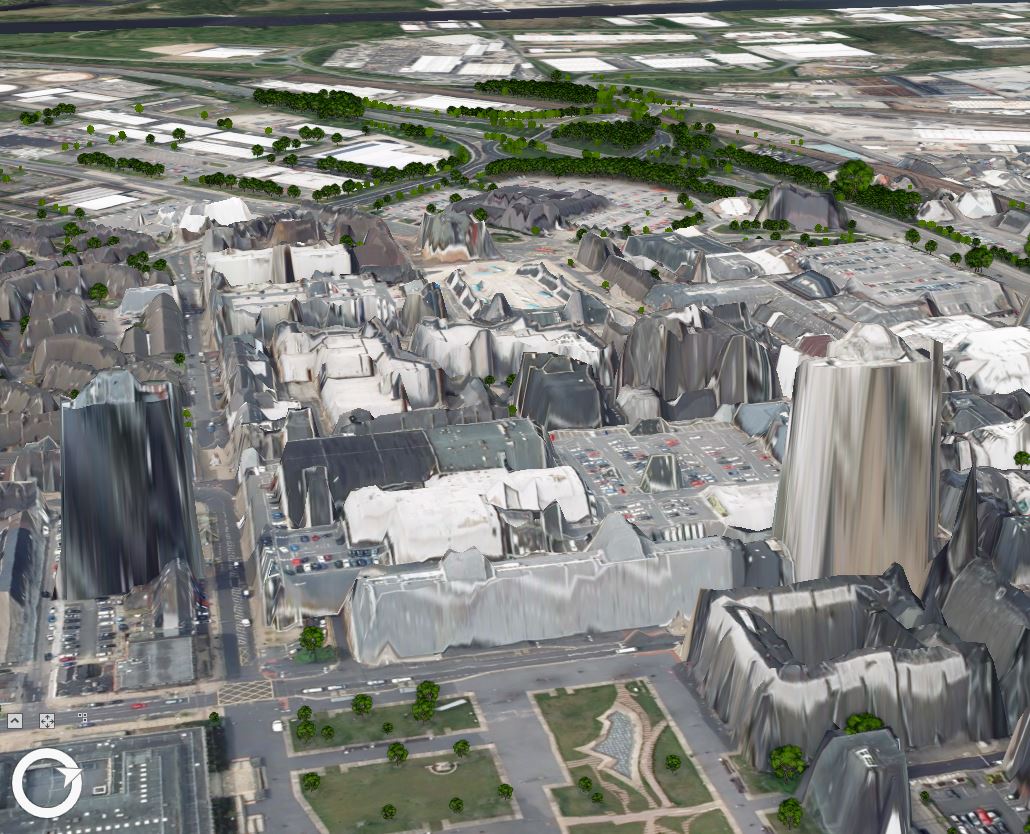
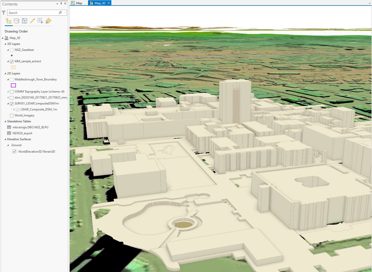
I have then added in some Lidar/DSM data, from both Esri's Living Atlas, and also from Environment Agency, and it looks good but I want to view this data in 3D rather than 2D. Similar to what a Scene has by default for the Ground Terrain 3D surface (image attached showing what mine looks like). Basically a 3D DSM.
I have done this sort of thing in the past with other software such as QGIS, and even perhaps ArcMap, but I am struggling in Pro. I am by no means an expert in 3D and Lidar data, but I do want to use it and understand it more.
I firstly tried to download data from the Environment Agency, and this gives me ASCII files, but I think these are basically raster files (?) and I probably need some sort of vector dataset, with a XYZ so I can plot each height value by it's attribute?
I am sure in the past I got Lidar data as a shapefile or some other vector format, but when I look on EA website, or the Defra website (I have an account), then it only gives me options for WMS and so on, which I don't think are any good if I want to make this data 3D.
I have been looking into this for a couple of days now and I thought I would ask how other people are doing it. I have watched some online guides and people have created a LAS dataset from LAS files, but I can only seem to get hold of ASCII files or Web Map Services.
Not sure if I just need to find somewhere to download the appropriate file types, or if I am over complication the whole thing!
Thanks
Dan
- Mark as New
- Bookmark
- Subscribe
- Mute
- Subscribe to RSS Feed
- Permalink
I learned what I had to do was convert the ASCII files into raster files, this then enabled the files to be used as a surface in ArcGIS Pro.