- Home
- :
- All Communities
- :
- Products
- :
- ArcGIS Pro
- :
- ArcGIS Pro Questions
- :
- Generate Service Area road network
- Subscribe to RSS Feed
- Mark Topic as New
- Mark Topic as Read
- Float this Topic for Current User
- Bookmark
- Subscribe
- Mute
- Printer Friendly Page
Generate Service Area road network
- Mark as New
- Bookmark
- Subscribe
- Mute
- Subscribe to RSS Feed
- Permalink
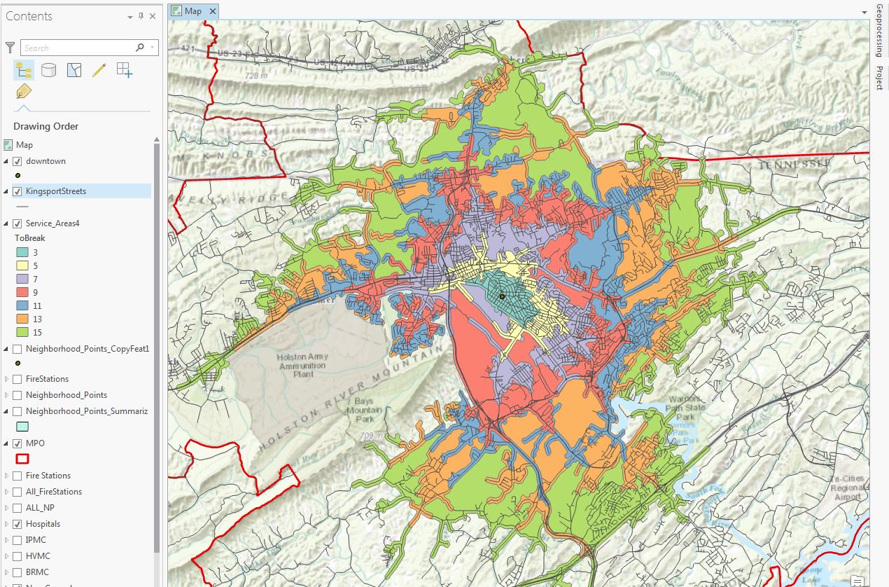
Does anyone know where the Generate Service Area gets its road network from? I run it in Pro 1.1 without a street layer or anything, and I get an output that follows the road network. It seems to be working fine and seems accurate, but I'm giving a presentation on this study next month and I know there will be people asking where the data is coming from!
I looked all over the Pro site and can't seem to find anything. Anyone have any ideas of where I can find the info?
Questions I need to be able to answer:
1. Where is the road network? Through which service is it maintained (GoogleMaps, OSM, etc.)?
2. How does Pro know the speed limits? I assume through whichever service the data is from?
3. Is there an error margin? It seems correct so far, but if a margin is established, it'd be good to report.
On a good note, it looks really cool
- Mark as New
- Bookmark
- Subscribe
- Mute
- Subscribe to RSS Feed
- Permalink
The map does look cool.
I have not used Pro, but I wonder if it has an equivalent of "Service Layer Credits" for imagery and data like they have in ArcGIS (Insert, Dynamic Text, Service Layer Credits). Another avenue to explore would be how Pro allows one to view Metadata.
Chris Donohue, GISP
- Mark as New
- Bookmark
- Subscribe
- Mute
- Subscribe to RSS Feed
- Permalink
Service area maps are cool!
Generate Service Areas is a ready-to-use service tool accessed from logistics.arcgis.com.
The tool is using network data hosted by Esri on arcgis.com. You can learn more about these services here, ArcGIS Network Analysis services.