Hello,
I am using a WMS map and a local layer.
In my layout view I zoom in well enough, so the street names are readable from the WMS map.
But then when I do an "export layout" to pdf/jpg/png/... the street names become so tiny that you have to zoom in on the pdf/...
I already tried a lot of diffrent settings in the export layout window
So now I just take a screenshot as a work around.
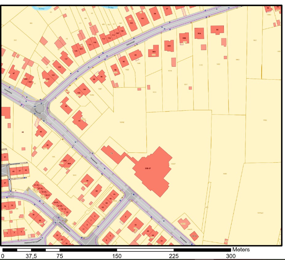
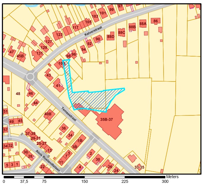
The photo on the left is the result of the exported pdf and the one on the right is my screenshot...
I don't really see an option to adjust the WMS map, how it should behave in the layout view. (I'm rather new to ArcGis pro)
I would really expect what you see on the screen, is what you get as an output 