- Home
- :
- All Communities
- :
- Products
- :
- ArcGIS Pro
- :
- ArcGIS Pro Questions
- :
- Error Running Building Object Extractor toolbox
- Subscribe to RSS Feed
- Mark Topic as New
- Mark Topic as Read
- Float this Topic for Current User
- Bookmark
- Subscribe
- Mute
- Printer Friendly Page
Error Running Building Object Extractor toolbox
- Mark as New
- Bookmark
- Subscribe
- Mute
- Subscribe to RSS Feed
- Permalink
I am trying to run Lidar Building Extraction Tutorial.
The User guide is pulished here : https://nmflood.org/wp-content/uploads/2018/12/Lidar-Building-Footprint-Extraction-Tool-User-Guide.p... .
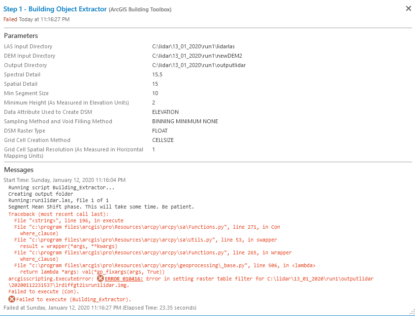
While using the Tool i am getting the following Error:
Steps
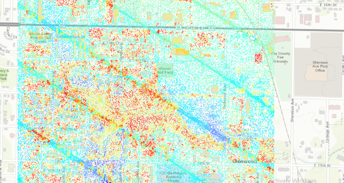
My input is a Las Dataset :
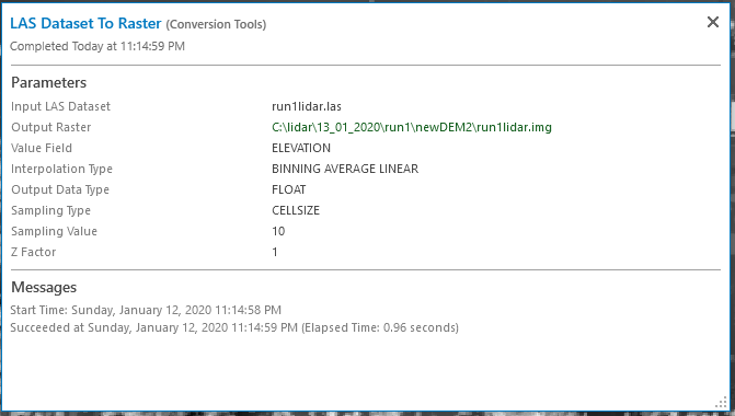
My DEM has been successfully generated using the LAS dataset to Raster
While running the tool it is giving me the error ?
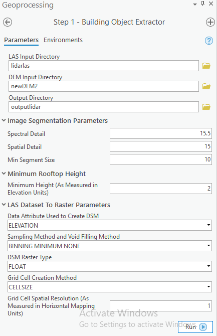
These are my input Parameters :
On running it is breaking after Segment mean shift phase at line 196...when it is running Condtional con.
Kindly help me.
Rahul
- Mark as New
- Bookmark
- Subscribe
- Mute
- Subscribe to RSS Feed
- Permalink
Hello Rahul,
This Lidar Building Footprint Extraction Tool is not supported by Esri or is it created by Esri. I would suggest contacting the Earth Data Analysis Center. They developed it for extracting building footprints in New Mexico and are currently testing a new prototype tool that should be released in the Local Government 3D Basemaps | ArcGIS Solutions for Local Government provided to them. I compared the results of the Lidar-Building-Footprint-Extraction-Tool developed by Earth Data Analysis Center and it's results were not as good as the tool being added to 3D Basemaps or the process below, a basic version of the processes in the Esri supported tool to be released.
Here's suggestion of a process to get you started on building footprints.
1.Use Classify LAS Building
2. LAS Point Statistics As Raster with a filter on the las for only buildings and output to 2x pixel size of your LAS spacing.
3. Elevation Void Fill raster function with to fill gaps in the raster, say a 0.5 for Short Range IDW Radius and a 20 for Max Void Width.
4. Raster to Polygon using the Elevation void fill raster.
5. Run Regularized Building Footprint on the features using the Right Angle and Diagonal option.
Thanks,
Arthur Crawford - Esri
- Mark as New
- Bookmark
- Subscribe
- Mute
- Subscribe to RSS Feed
- Permalink
Hello Arthur,
Thank you for the inputs ...have send the mail to EDAC ..however we pushed ahead and used the model published by you:
We used the tools using :
3D mapping with Lidar Point Clouds
and were able to Extract building footprints using Arcgis Pro 2.4.
However I has been asked that will the same toolset work in ARCMAP ?If Yes which version?
Thanks,
Rahul
- Mark as New
- Bookmark
- Subscribe
- Mute
- Subscribe to RSS Feed
- Permalink
Hello Rahul Pandia,
3D mapping with Lidar Point Closhould work with 2.4, but with later versions the process does not work. With ArcMap, there is not similar solution published. You are in Panama City, Florida. If you wish to contact me directly, my email is my first initial and last name at esri.com. I might be quickly able to improve your results using some new techniques that will be shared in the Local Government 3D Basemaps solution shortly.
Thanks,
Arthur Crawford - Esri