PS - I could not find the ArcMap group, so please excuse me until this post gets to where it needs to go.
PSS - If this can only be done in Pro, I'll import my map into Pro.
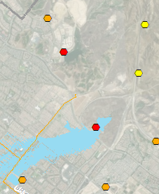
I have water (polylines) and dams (points), I want to show the water and its dam.
- If I clip to current Data-Driven-Page (DDP), using the water, and exclude the dams - I get multiple dams on my DDP.
- If I don't exclude the dam, then it only shows the part of the symbol that resides in the water.
Any help would be appreciated.