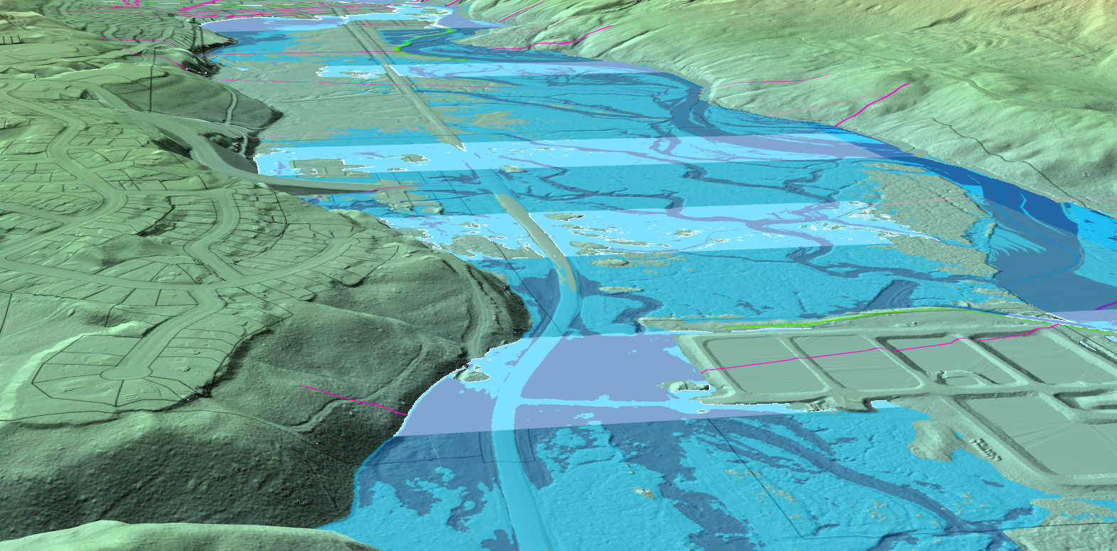
Hi, I am using two elevation sources in a Local Scene Map. One is ground from LiDAR the other is flood water elevations. Both datasets are a raster in a GDB. When I try to use the water elevation to display the height of another dataset with a transparency it draws bands like below. Can this be fixed?