Turn on suggestions
Auto-suggest helps you quickly narrow down your search results by suggesting possible matches as you type.
Cancel
- Home
- :
- All Communities
- :
- Products
- :
- ArcGIS Pro
- :
- ArcGIS Pro Ideas
- :
- Amusement park style maps
Options
- Subscribe to RSS Feed
- Mark as New
- Mark as Read
- Bookmark
- Follow this Idea
- Printer Friendly Page
- Report Inappropriate Content
- Mark as New
- Bookmark
- Subscribe
- Mute
- Subscribe to RSS Feed
- Permalink
- Report Inappropriate Content
Create symbology similar to amusement park style maps - (even cartoonish)
Ability to use a bird's-eye view tilted projection
Ability to use a bird's-eye view tilted projection
2 Comments
- Mark as Read
- Mark as New
- Bookmark
- Permalink
- Report Inappropriate Content
I think the best you can do is to layout your features in Map then add them to Scene. In Scene you could angle the map how you want then export that view. That way you get all of your distances consistant to scale and elevation. The problem is that while some features could be symbolized to make the process quicker you would still need to do extensive finishing in a graphics suite. Most if not all of those type maps are done by graphics designers for that reason. Arcmap can make really nice "mall" style maps. I made one for my office building.
- Mark as Read
- Mark as New
- Bookmark
- Permalink
- Report Inappropriate Content
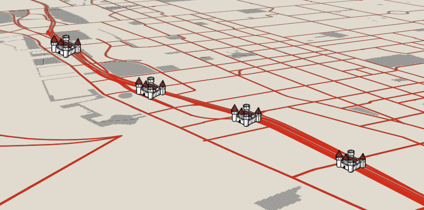
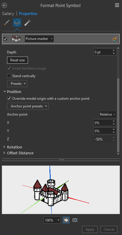
Hi Kate Stratford one thing you could try it to create images of the features you'll like on the map. You could then use these as picture markers (quick example below) within your 3D scene in the same way you would in a map. Here's a sample style I put together while experimenting creating and using my own image markers http://arcg.is/DWO0D


You must be a registered user to add a comment. If you've already registered, sign in. Otherwise, register and sign in.