- Home
- :
- All Communities
- :
- Products
- :
- ArcGIS Online
- :
- ArcGIS Online Questions
- :
- How do I get county data to join with online count...
- Subscribe to RSS Feed
- Mark Topic as New
- Mark Topic as Read
- Float this Topic for Current User
- Bookmark
- Subscribe
- Mute
- Printer Friendly Page
How do I get county data to join with online county map?
- Mark as New
- Bookmark
- Subscribe
- Mute
- Subscribe to RSS Feed
- Permalink
I'm a neophyte, so please bear with me.
I successfully built a map with ArcGIS for desktop using county data for Illinois counties, but can't get it to export to the web and have been unable to rebuild it on the web with ArcGIS Online. The trouble seems to be defining the geography when "subregion" and "region" are the only choices (vs. "county" and "state."
Here's the exported map: http://bnd.maps.arcgis.com/home/item.html?id=516b6a4e2928496f8a894654ee28ce62
Here's the base for the online map: http://bnd.maps.arcgis.com/home/webmap/viewer.html?webmap=83cf02373bab41468240d9ec9126c45f
What am I doing wrong here?
Thanks.
- Mark as New
- Bookmark
- Subscribe
- Mute
- Subscribe to RSS Feed
- Permalink
For a start, open access to your example links would be nice.
I could get the CSV to import and show like this:
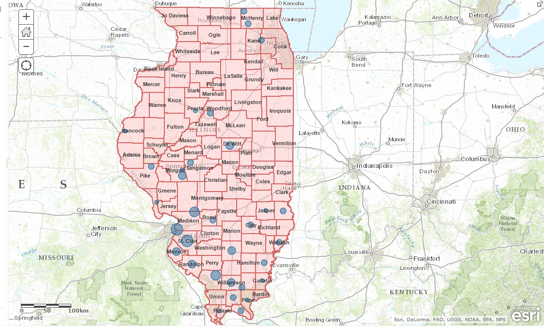
AGO Map: http://arcg.is/1vMzs33
The county data was added as an address type with the county name specified as "City" and state name as "State" and then symbolized on POP_2013. Not sure if you can actually link or join the CSV data to another layer on ArcGIS Online. You might have to join the data to the counties before you upload to AGO.