Greetings,
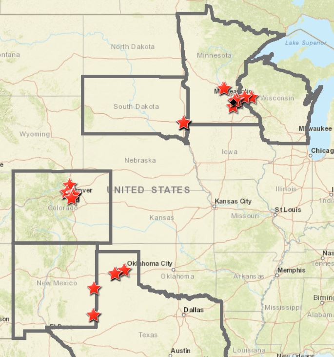
Is it possible to zoom to set map extents in a web map by clicking on a polygon (in this case a state, see image below)? In this web map it would be great if by clicking on a state it would then zoom to the extent that would be set around the star clusters shown.
Thanks,
Jim F.