- Home
- :
- All Communities
- :
- Products
- :
- Mapping and Charting Solutions
- :
- Mapping and Charting Questions
- :
- Modify Elevation Contour Lines
- Subscribe to RSS Feed
- Mark Topic as New
- Mark Topic as Read
- Float this Topic for Current User
- Bookmark
- Subscribe
- Mute
- Printer Friendly Page
Modify Elevation Contour Lines
- Mark as New
- Bookmark
- Subscribe
- Mute
- Subscribe to RSS Feed
- Permalink
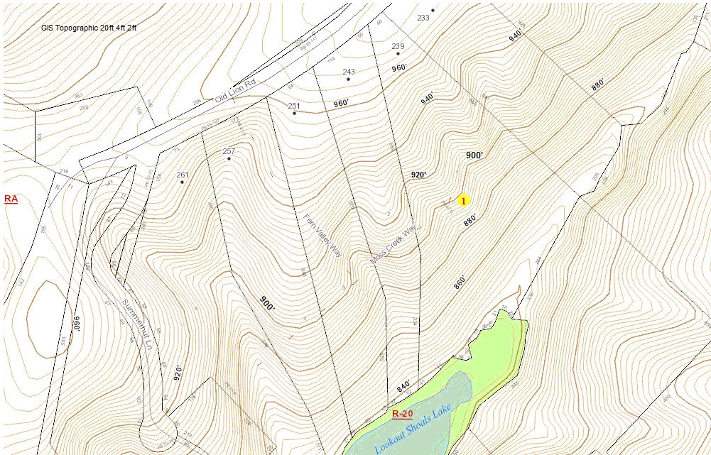
I have a county Contour Map that is not interactive. I went to Google Earth and created a point file and
converted to a shape file, extracted a Contour map . Now what I need is to modify the contour lines
in a specific area of the map, to show a cut and fill contour . I need this for an Erosion Permits. I have
had several people try but they can not figure out how to do it. I tried to export but there is no way to
know which points I need to modify in the table. How do I do this.. Thanks
- Mark as New
- Bookmark
- Subscribe
- Mute
- Subscribe to RSS Feed
- Permalink
Could you be more specific?
What does "I went to Google Earth and created a point file and converted to a shape file, extracted a Contour map"
mean? when you create a point file and convert to shapefile, what are the attributes?
Why are you using Google Earth?
Do you have ArcMap? If so, what version and what license level do you have?