Turn on suggestions
Auto-suggest helps you quickly narrow down your search results by suggesting possible matches as you type.
Cancel
- Home
- :
- All Communities
- :
- Products
- :
- ArcGIS for Microsoft
- :
- ArcGIS for Microsoft 365
- :
- ArcGIS for SharePoint
- :
- ArcGIS for SharePoint Questions
- :
- Esri Maps for Office 3.0 beta released
Options
- Subscribe to RSS Feed
- Mark Topic as New
- Mark Topic as Read
- Float this Topic for Current User
- Bookmark
- Subscribe
- Mute
- Printer Friendly Page
Esri Maps for Office 3.0 beta released
Subscribe
3837
0
12-18-2014 11:09 AM
12-18-2014
11:09 AM
- Mark as New
- Bookmark
- Subscribe
- Mute
- Subscribe to RSS Feed
- Permalink
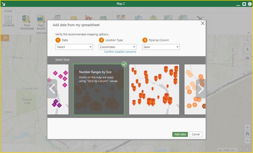
Participate in the beta release for the next version of Esri Maps for Office 3.0. This new version will make it even easier to map your Excel data and work with maps in many new ways. For example, you can add multiple maps to your spreadsheet, change the coordinate system for your maps, float the maps outside the Excel window, and much more. We’ve also listened to your feedback from the Tech Preview program. We've made the map tools easier to find by adding a ribbon to your maps and fixed many of the bugs and known limitations of the tech preview.
Here is a list of new features and enhancements that you get to explore in the Beta version:
- Add multiple maps and display them side by side to compare data from multiple worksheets.
- Know how many credits your map will consume. The new ‘add data’ workflow helps you understand what type of map you’re going to create and how many credits it will cost before you create the map.
- More coordinate systems. Add basemaps and data in any of the coordinate systems supported by the ArcGIS API.
- Map line features. Custom location types include mapping line features.
- Minimize or collapse maps. Get maps out of the way when you are focusing on other things in your spreadsheet.
- Drag maps outside the Excel window and to secondary monitors. Scroll through your Excel data more easily while keeping maps visible.
- Access tools inside the map window where you need them most. Tools on the map include select features, change basemap, and a new tool for points of interest search.
Join the Beta program on the Esri Beta Community.
0 Replies