Turn on suggestions
Auto-suggest helps you quickly narrow down your search results by suggesting possible matches as you type.
Cancel
- Home
- :
- All Communities
- :
- User Groups
- :
- 911 GIS
- :
- Questions
- :
- Snap points to a polyline?
Options
- Subscribe to RSS Feed
- Mark Topic as New
- Mark Topic as Read
- Float this Topic for Current User
- Bookmark
- Subscribe
- Mute
- Printer Friendly Page
Snap points to a polyline?
Subscribe
1023
1
01-04-2019 02:50 PM
01-04-2019
02:50 PM
- Mark as New
- Bookmark
- Subscribe
- Mute
- Subscribe to RSS Feed
- Permalink
Hello!
I am trying to put together a map of historical and contemporary fish occurrences. Some of my GPS points are slightly off of the stream segment (polyline) that they are from. How do I snap these floating points to the line segment they are nearest to?
I appreciate any kind of help or advice! I am using ArcMap 10.5.1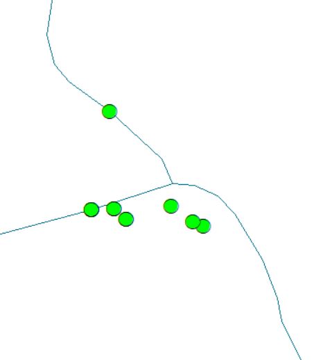
1 Reply
01-04-2019
05:16 PM
- Mark as New
- Bookmark
- Subscribe
- Mute
- Subscribe to RSS Feed
- Permalink
check arcmap help for the equivalent... in Pro it is Snap—Help | ArcGIS Desktop but requires more than a basic license