Hi guys,
I know that this is an easy one for you guys. But I'd like to ask what is the proper way to create a DEM map?
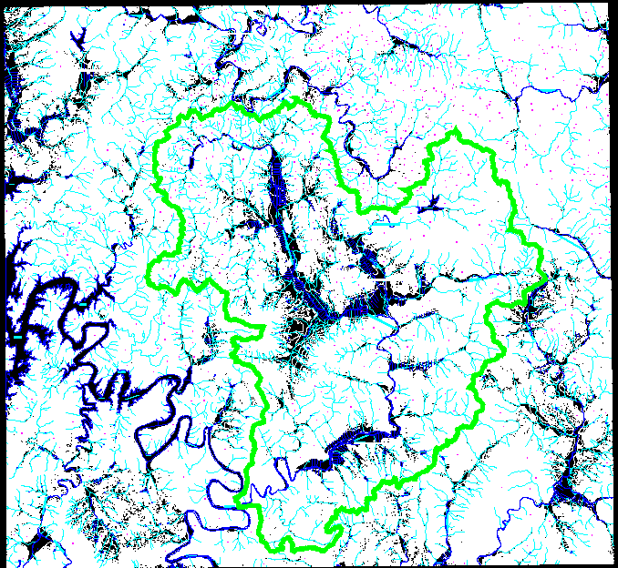
I have a a contour data in .dwg format and I need to make a DEM from it. I just know that I need to convert the data features to TIN, and that's it.
Also, is it important to keep the polylines connected? Because I got the map in portions, so I still had to xref everything.
Can anybody help me? Thanks!
[ATTACH=CONFIG]16479[/ATTACH]