- Home
- :
- All Communities
- :
- Products
- :
- 3D
- :
- 3D Questions
- :
- ArcScene projection error
- Subscribe to RSS Feed
- Mark Topic as New
- Mark Topic as Read
- Float this Topic for Current User
- Bookmark
- Subscribe
- Mute
- Printer Friendly Page
ArcScene projection error
- Mark as New
- Bookmark
- Subscribe
- Mute
- Subscribe to RSS Feed
- Permalink
Hi! I using WGS84 coordinate system in my project. If I will export web scene, arcscene give this error;
000269 : The cartographic spatial reference does not have a projected coordinate system.
Description
ArcGIS needs to use a spatial reference with a projected coordinate system to display features in the proper location.
Solution
Specify a spatial reference with a projected coordinate system.
How to fix it?
- Mark as New
- Bookmark
- Subscribe
- Mute
- Subscribe to RSS Feed
- Permalink
whatever the file is, it needs a coordinate system whether it is an image or shapefile. You need to use the Data Management, Define Projection tool
- Mark as New
- Bookmark
- Subscribe
- Mute
- Subscribe to RSS Feed
- Permalink
I'm already use Data Management Tools >> Projections and Transformations >> Define Projection. I'm set GCS_WGS_1984 but don't working 
- Mark as New
- Bookmark
- Subscribe
- Mute
- Subscribe to RSS Feed
- Permalink
Just following this
Defining or modifying a raster's coordinate system—Help | ArcGIS for Desktop
but your raster may be different. That information might be useful. And a GCS_WGS 84 is not a projected coordinate system, so if it is defined correctly, then use the Project tool to project it to something projected (ie UTM etc etc)P
- Mark as New
- Bookmark
- Subscribe
- Mute
- Subscribe to RSS Feed
- Permalink
Thanks, I'm publish utm but my layers seen to small. Why?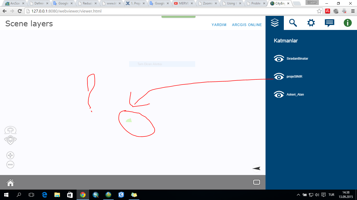
- Mark as New
- Bookmark
- Subscribe
- Mute
- Subscribe to RSS Feed
- Permalink
This is the difference between "defining" the projection or "projecting" the data to another coordinate system.
First, when you defined this data as GCS_WGS84, are you absolutely sure that is indeed the correct definition for this data. Post the data extents from the layer properties page here. Do those numbers look like decimal degrees?
ie are they fairly small? If they are large ie >+thousands, then the original data is not in degrees.
Once you have established what the original reference system is, then you can take the next step and project it to a reference system appropriate for your analysis.