I have created an ArcGIS Online map that allows you to click on a Feature Layer and the Pop Up allows you to link to Survey123
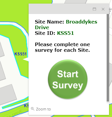
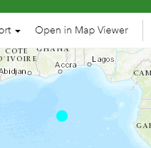
Is it possible to pass the coordinates/centroid of the polygon you have selected to pass into Survey123 Data tab so that it appears as geocoded at that location instead of the Atlantic Ocean?
Thanks 🙂





