Hello All.
I have created a survey using Survey123 Collect. I have given my team the ability to enter a latitude and longitude numeric value via the form.
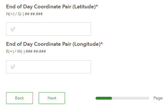
and I'd like the points to be visible on my AGOL web map.
I am NOT using the map interface approach (which works for 99.9% of my projects) and I won't go into the details as to why not 🙂. The map interface approach would look like this
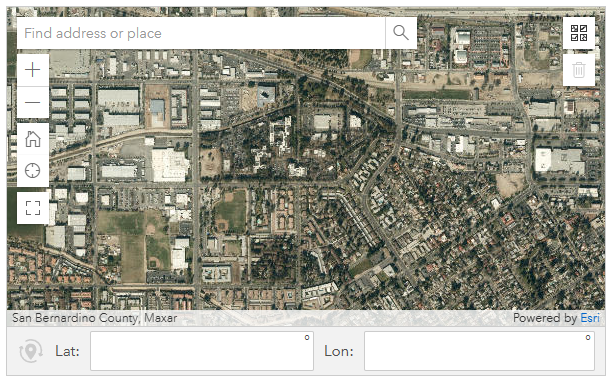
I really just want to know if or how to get a point on a map using the manual entry Lat/Long fields vs doing it the more typical way via the map based interface. Could this be based on a calculated field in my excel spreadsheet using Connect?
Thanks so much in advance.
GR


