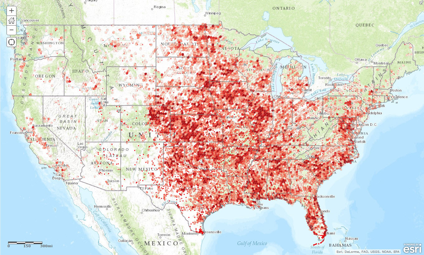
I have some huge number of GPS data which I want to plot on ArcGIS web map but in the form of hexagonal binning. The hexagons must be equal sized connected hexagons.
An example similar to my scenario I found on this link but it is for ArcGIS Desktop. See the snapshot below also.
I need to know how I can do that in latest version of ArcGIS API for Javascript 4.3.
Can someone please guide. Thanks.