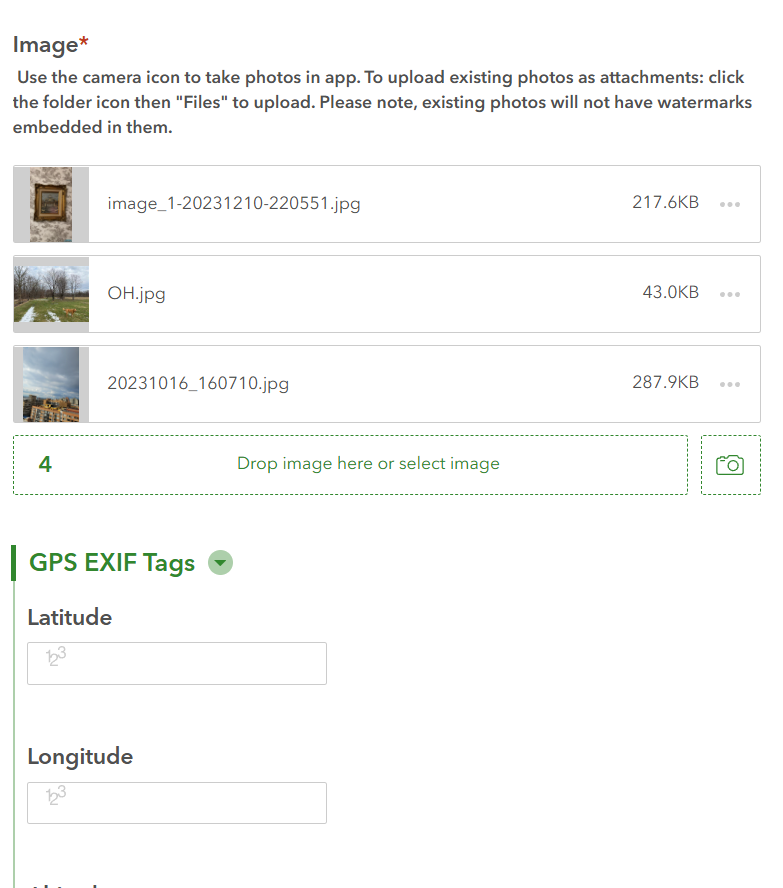
While Survey123 can extract EXIF data from a single image attachment to populate a geopoint, it does not appear to have built-in support for reading EXIF data from multiple attachments and populating multiple geopoints. This isn't tedious when dealing with one or two photos, but when dealing with hundreds, it would be very monotonous to manually select each photo one by one.
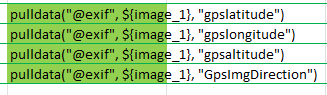
The screenshot below is how I have the EXIF tags set up in my connect XLS form. Its designed to read only one image at a time:
I wish there was a way to replace {image_1} with an iterator that goes through how ever many attachments, pulls the EXIF tag of each attachment and populates different geopoints . For example, in the screenshot below, there are three photos taken from my camera roll. My wish is that the code itself could analyze the EXIF tags of each of the three photos and populate three different lat/lon points below resulting in three geopoints plotted in the hosted feature layer. Currently, a bulk upload turns up nothing: