Hello!!
I need the points on the Survey123 map, file called survey_results, to be automatically plotted based on the latitude and longitude columns that are manually filled in the Survey123 form. I tried and I'm not succeeding. Does anyone have a solution?
As shown in the image below, the points plotted on the map do not represent the coordinates manually entered in the "UTM East Coordinates" and "UTM North Coordinates" columns. The plotted point is random and falls in the Atlantic Ocean. The coordinates should fall in southern Brazil.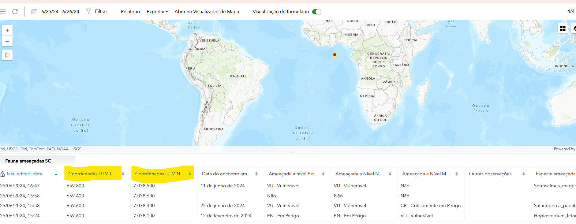
Thanks!!!!

