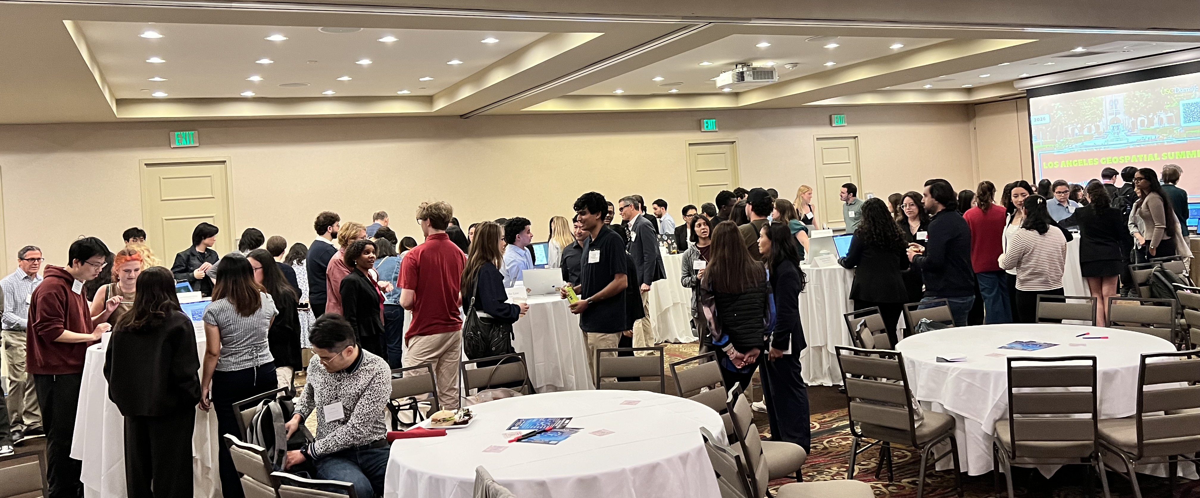
The annual Los Angeles Geospatial Summit recently took place on February 27, 2026, hosted by the Spatial Sciences Institute at the University of Southern California (USC).
Each year, this one-day event brings together students, faculty, and professionals from across Southern California to share the latest GIS tech trends, showcase student projects, and touch on the future of geospatial technology.
For the past five years, Esri has sponsored the Los Angeles Geospatial Summit ArcGIS StoryMaps Competition. The challenge invites students to explore a topic using geospatial technology—conducting research, performing spatial analysis, and communicating their findings through an interactive StoryMap.
Submission are evaluated in three main categories:
- Most Innovative Use of Technology
- Most Compelling Communication Using Maps
- Most Suitably Applied Methodology or Analysis
A panel of judges reviewed this year’s submissions and selected one winner in each category. The projects demonstrated not only strong technical skills but also thoughtful storytelling and creative approaches to spatial analysis.

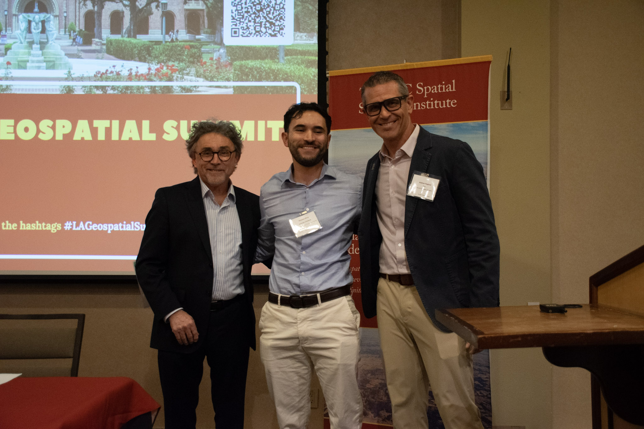
Winner for Most Innovative Use of Technology
Project: Sidewalk Management: Walking the Walk
Student: Nicholas Mora, University of Redlands
This project stood out for its creative use of GIS and complementary technologies to examine sidewalk infrastructure and accessibility. It clearly demonstrated how geospatial tools can be used to analyze urban environments and support better planning decisions.
Winner for Most Compelling Communication Using Maps
Project: Gotham City Emergency Evacuation and Response Guide
Student: Khouri Evans-Dangerfield, University of Redlands
This StoryMap excelled in visual storytelling. With strong cartographic design and a clear narrative, it effectively communicated complex emergency response concepts through maps, graphics, and multimedia.
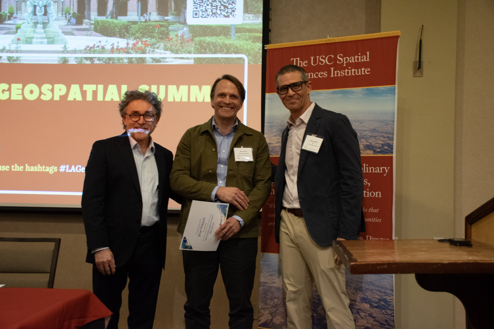
Winner for Most Suitably Applied Methodology or Analysis
Project: Between Flames and Affordability
Student: Brian Pidduck, University of Southern California
This project showcased a well-structured analytical approach, applying appropriate spatial analysis tools and clearly explaining the methodology used to investigate the relationship between wildfire risk and housing affordability.
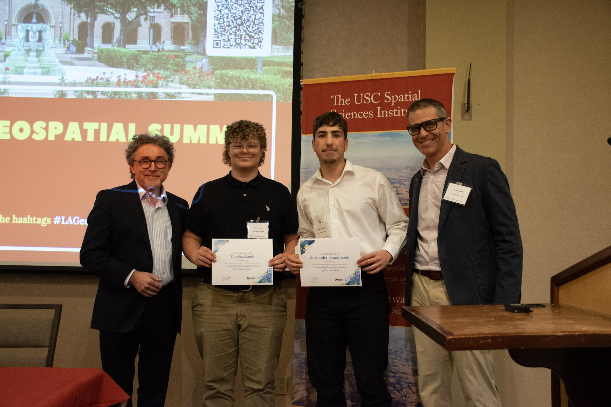
Winner for Best High School Submission (New Category)
This year marked an exciting first for the competition which was the introduction of a high school category. Opening the challenge to younger students highlights how early geospatial skills can start developing.
Winning Project: Clark Magnet Bus Optimization
School: Clark Magnet High School
Their project explored ways to optimize bus routes, demonstrating how GIS can be applied to real-world logistical challenges even at the high school level.
You can view all the storymap submissions here in this gallery.
Resources for Students and Emerging GIS Professionals
For students inspired by the work presented at the summit, there are many ways to continue building geospatial skills and connecting with the community. Esri offers several resources to help students and early-career professionals grow in the field:
