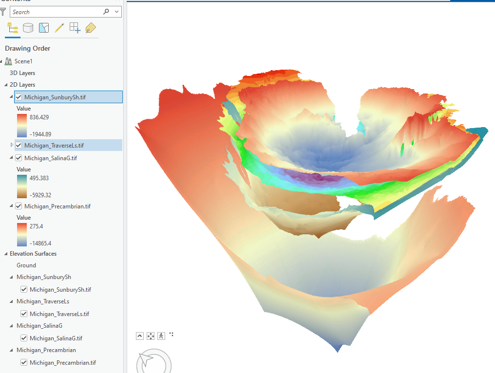
This is one of the many limitations of using Scene Viewer for subsurface geology where we often have many subsurface elevation surfaces for different formations. Since Scene Viewer essentially only allows a single Ground elevation layer, it does not allow other subsurface elevation surfaces. There are some work arounds but they are clunky. Until ESRI updates Scene Viewer to allow for multiple elevation surfaces, allows applying a vertical exaggeration to all the layers in Scene Viewer and allow for better extrusion capabilities (Hint: ArcScene), Scene Viewer will be a missed opportunity for subsurface geology on the web.