Hi Everyone.
Out of curiosity- what is the intended editing workflow for updating a manhole location in the base model for wastewater UN?
I get the below image when updating a manhole (structure) location in the Naperville sample data, which seems to stack the pipe connections on top of each other. Is this the intended behavior?
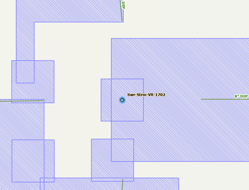
This was a question I encountered as a result of updating manhole locations from GPS sources, but shouldn't the pipe connections remain on the pipes they were connected to initially? Just curious. Thanks!



