So, I'm looking to build maps for personal use using ArcMap 10.1. These would be used as trail maps to navigate local trail systems. I want to base my map's style off another I've found online. I'm looking for help breaking down that found map. It's posted below.
Note - I'm searching for help deducing the layers, and their type, not the title, legend, pictures, compass, and description
What what I see in terms of layers includes:
1. Raster - topographic. Is there style name for this sort of topographic map (contour lines and elevation divided by color).
2. GPS Data of trails
3. Civil Boundries
4. Hydrology
I think the most impressive part of this map is the raster data. Any suggestions on where I could find such data for upstate New York with high enough resolution to have the maps printed.
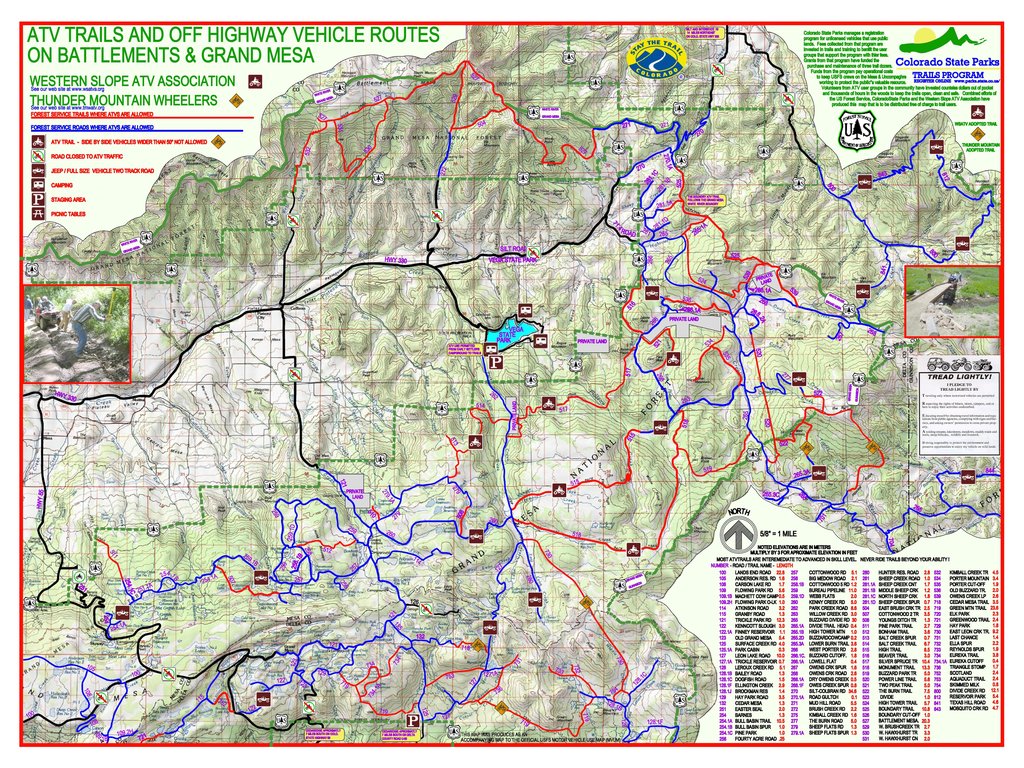
Thanks to the guys at Colorado State Park Trail Program for building this great map!



