Trying to create a very simple web map in Enterprise Portal 11.5.
Has a single point feature layer published from an Enterprise Geodatabase called DBO_Culverts.
The Basemap is ESRI World Topographic Map
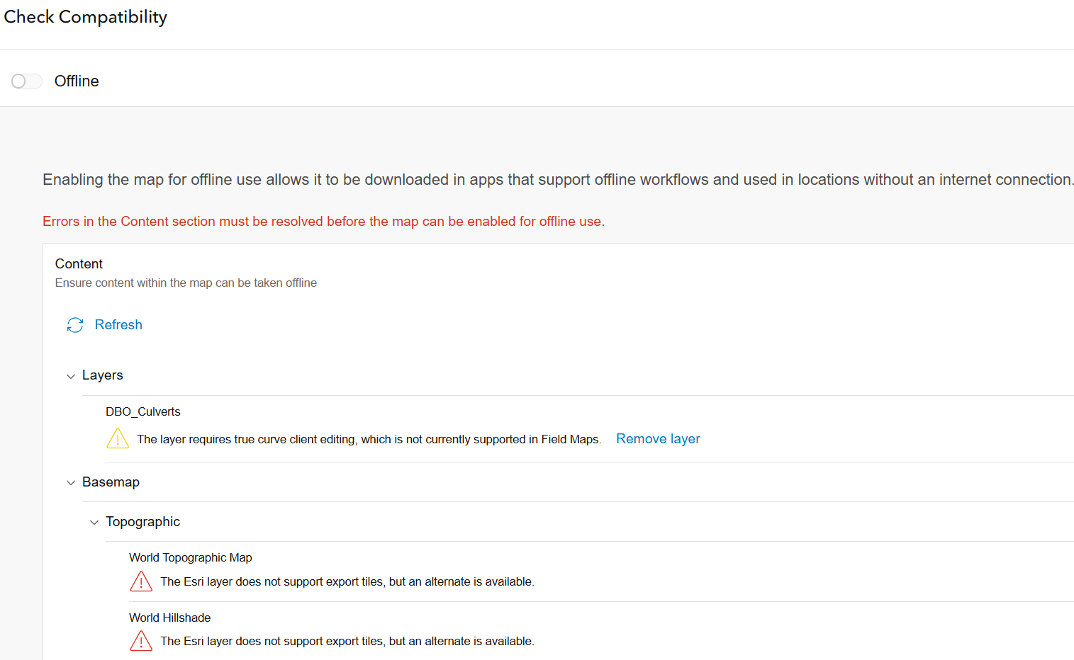
Cannot understand what these error messages mean when checking compatibility for offline use.
The culverts layer is an extremely simple point feature layer. Why is it saying "requires true curve editing"??? There are no curves!!
And, why is it saying The ESRI layer does not support export tiles but an alternate is available? What alternate?
Thank you!


