Hi ESRI Community,
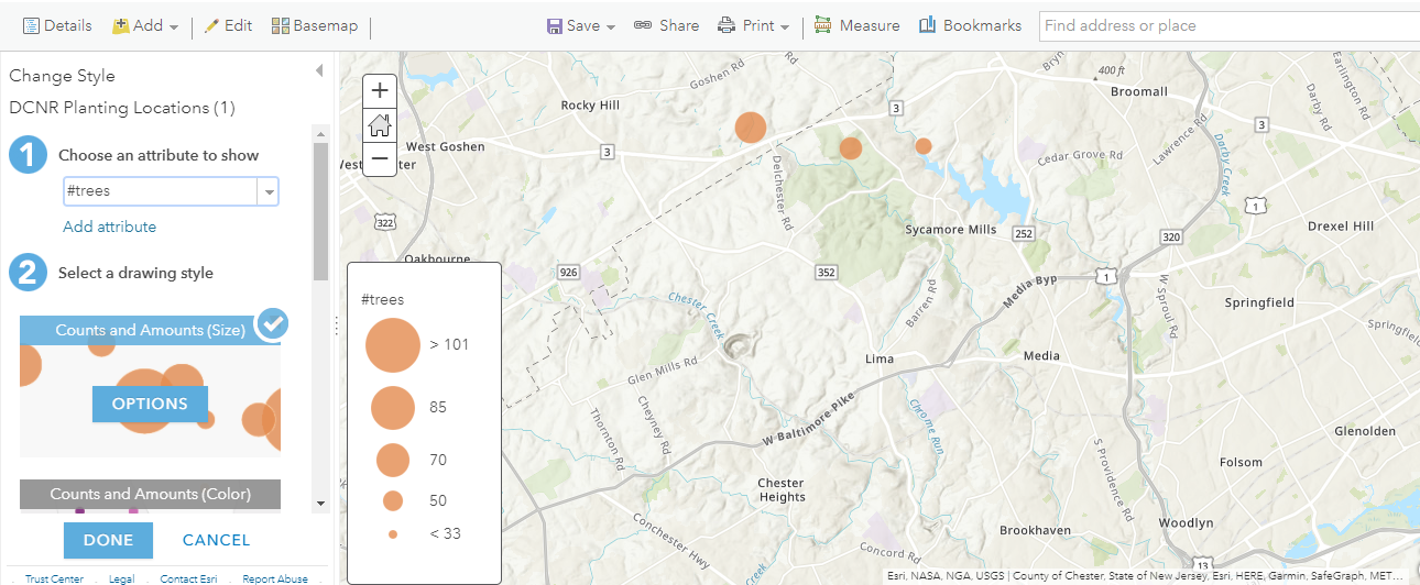
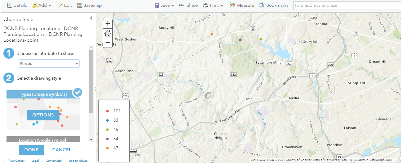
I have a question regarding layers I added to my Map Viewer on ArcGIS Online. I have uploaded a .csv file and a .zip file with the same exact information, created from the same .xlsx file, regarding the location and quantity of trees planted by our organization in suburban Philadelphia. Curiously, the .csv file allows me to apply the 'Counts and Amounts' drawing style (with its differently-sized circles) for the attribute of 'trees planted', while the .zip file does not, only allowing me to use 'Unique Symbols', which while differently colored, don't allow me to correlate the number of trees to the size of the circle. Does anyone have any guesses as to why this may be?