Hi, I would like to use lidar data as elevation source.
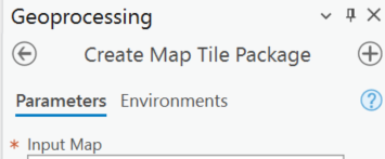
I have tried first to create a tpkx file using "Create Map Tile Package" tool in ArcgisPRO.
It doesn't work when I use it as elevation source for my ArcGISmap in Unity (and it is only few Ks?!??). Here is a drive link to the lidar data and tpkx:
LidarX5
I have tried also to host it using in ArcGIS online. It doesn't work when using the link as elevation source either.
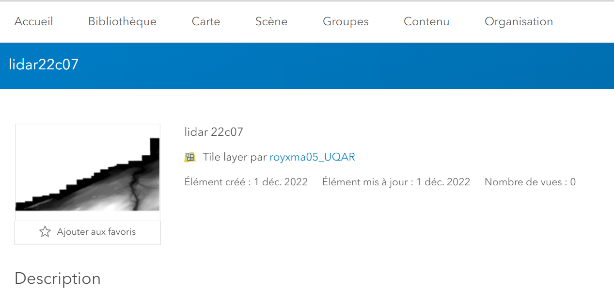
https://tiles.arcgis.com/tiles/J6AQcFJqZURZKQVP/arcgis/rest/services/lidar22c07/MapServer
I'm wondering what I did wrong ?!?? and if someone can help me with that?
Thank you ! Merci beaucoup!


