Hello,
I am want to use the ArcGIS Maps for Power BI visual to display our orders based on Local Authority Districts / Unitary Authorities in United Kingdom.
What I have noticed though is that some Districts do not display properly.
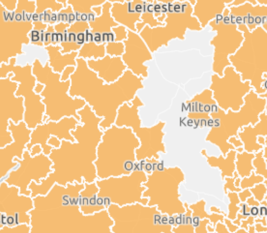
The ones that do not display although we have sales from those areas (e.g. using postcodes you can see points in those areas) are the following:
Wyre Forest, North Northamptonshire, West Northamptonshire and Buckinghamshire
You can see what is missing in the following picture although we do have sales from those areas.
Is there any way to fix this in Power BI or does the fix have to be applied from esri?






