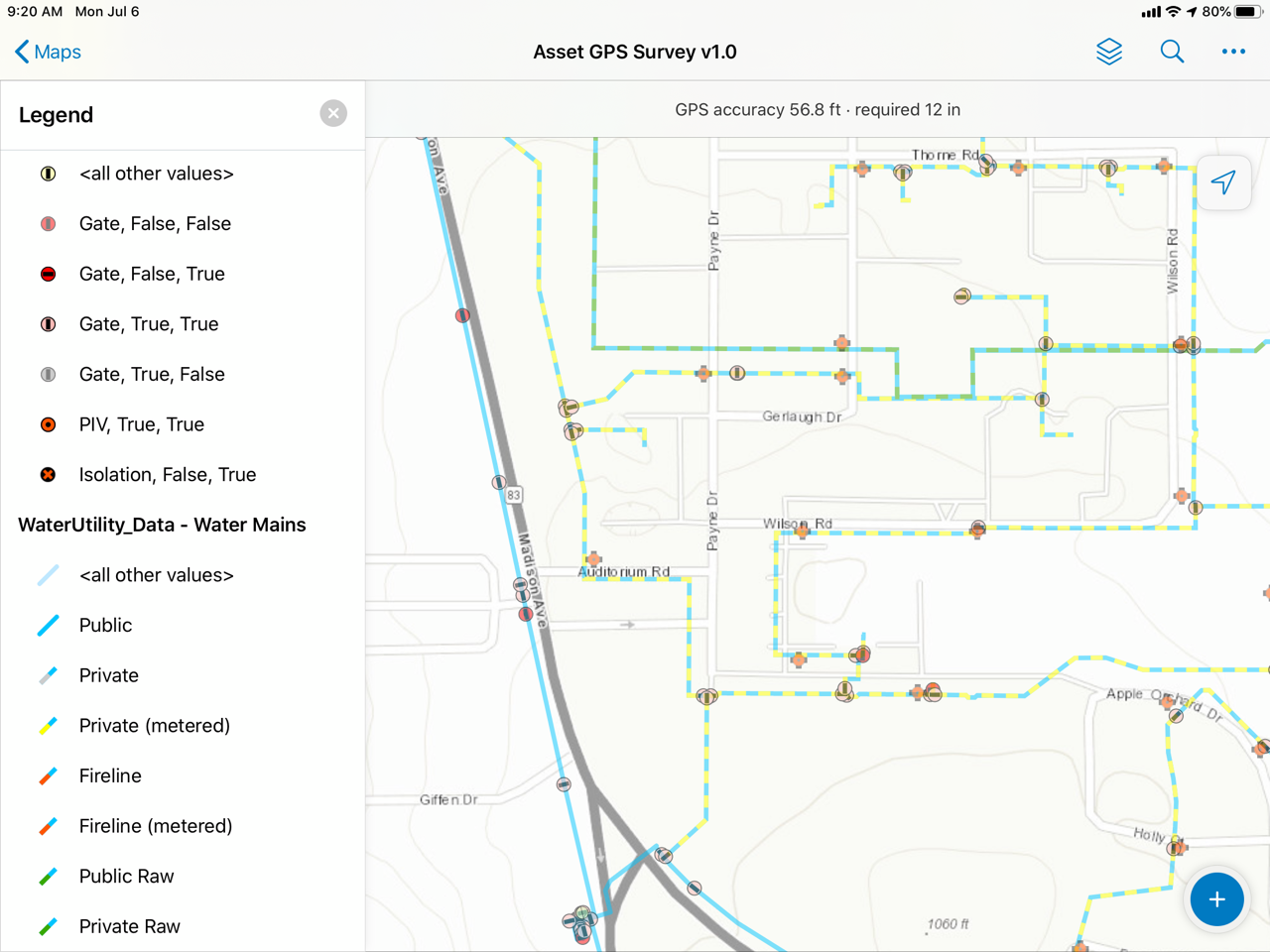
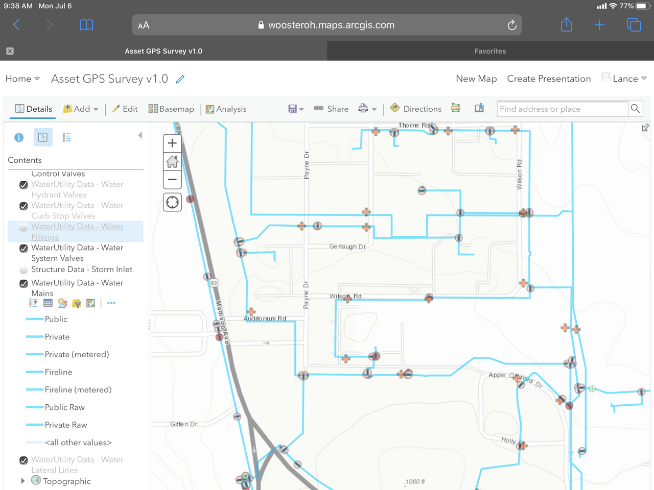
We are using multi layer cartographic line symbols to identify different types of line types in our GIS database. When uploading to AGOL to publish as a map, we receive a warning that the "Layer's symbol will be downgraded" and the various line types all appear the same in the uploaded web map. I understand this is by design and a limit of AGOL.
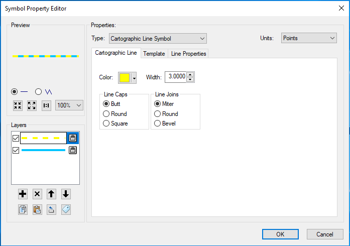
However, when opening the same map in Explorer or Collector the original symbology will display. How can this symbology be displayed in an AGOL Map or App?
AGOL Published Map:
Same Map opened in Collector 20.2.2 or Explorer 20.0.1 - Displays the same symbology as in the original MXD from which the map is published, despite the downgraded symbology.