Hi,
We have an application using the Arcgis API for JavaScript (version3.9)
and if seems that there is a problem with the display of feature layer compare to a dynamic layer.
I made available a layer for testing
test/Test_Protected_Areas (MapServer)
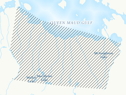
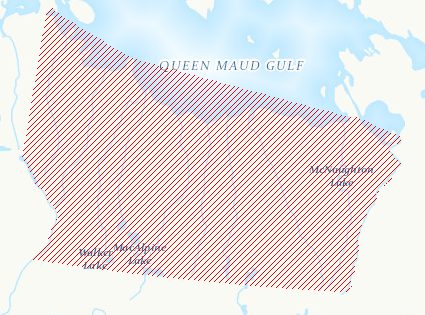
The issue is that the diagonal line are showing red in the service but they are displayed in black in the Arcgis API for JavaScript when using the feature layer. The display is fine if we use the dynamic layer. In our case we need to be able to access all layers of a service individually so we need feature layer access.
example feature layer
example with same service but dynamic access
anyone experience this issue?
I just realized that even the spacing is different...
Bruno

