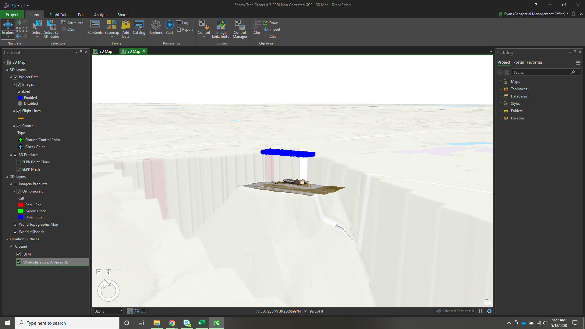
I am currently using Drone 2 Map to produce 3D Maps using a DJI Drone that records in WGS84, my GCP's are collected in WGS84 as well. When I process the mission and apply it with the World Elevation background the elevations are almost 120 ft difference. It appears that the World Elevation is applying the local geoid elevation and not WGS84. Is there any way to correct this?