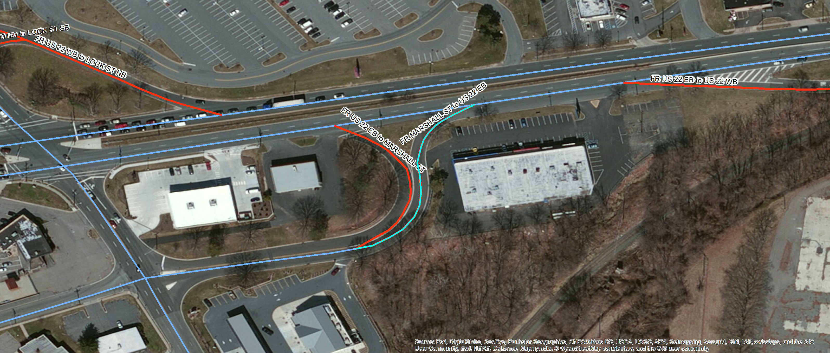
I am looking for an automated way to scan through a dataset, panning to the location of each observation on the map, then take a picture of that observation, and then name the picture after one of the variables.
I am thinking that python is going to be my best best for accomplishing this with a for loop but am unsure of functions would be able to accomplish this. I have some experience with python but not a lot of experience with ArcGIS and python. You can see an example below of the type of picture I want to take. I don't have to select each observation like in the picture but that would be nice.
Thanks