Hi there
Looking at the Drone2Map Vertical Coordinate System
We can use NZGD2000 NZ Transverse Mercator (2193)
However we would like to use a local circuit for Vertical Coordinate System - but there are the following showing
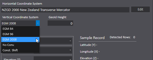
New Zealand Vertical Datum 2009 (NZVD2009) | Land Information New Zealand (LINZ)
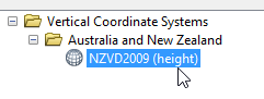
I note that NZVD2009 is supported in ArcMap
However also we would like to use
New Zealand Vertical Datum 2016 (NZVD2016) | Land Information New Zealand (LINZ)
Is there a way to enter in a custom system?
Thanks
John P


