I'm currently busy with setting up a Household Income Survey for a project that we have in Dar es Salaam. I have created clusters of house locations with the help of Curtis Price based on the following post https://community.esri.com/thread/195972-how-to-group-points-into-optimal-clusters-proximity-and-timeframe My next challenge is that I'd like to create an optimal path for each cluster by creating the shortest path between each point for each cluster so that the shortest path is depicted for the surveyors to take to eliminate time wasted and the possibility of not completing any of the household surveys..
What approach or methodology could I follow to create the shortest polyline joining the points for each cluster separately that would depict the best path to take to complete the Household Income survey for each cluster separately. We have allocated 24 devices to 24 surveyors that will carry out the survey for each cluster over a period of eight days.
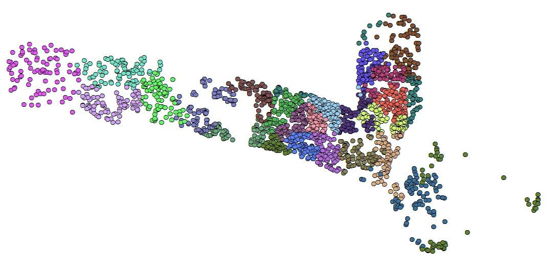
Study Area: 24 Clusters
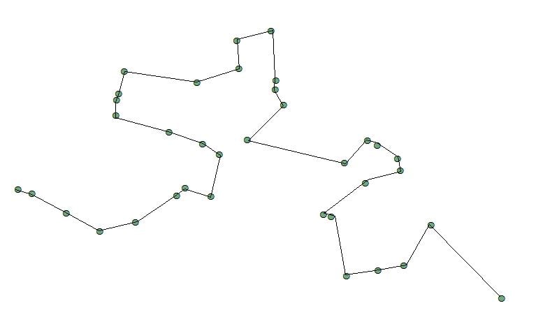
Study Area Group1: Optimal Path Example





