Hi All,
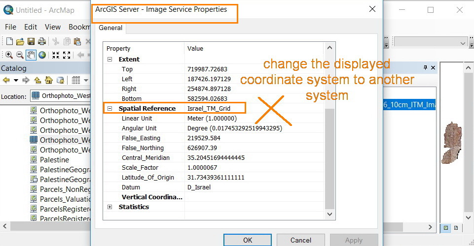
I am wondering how can I change the coordinate system for published image service?
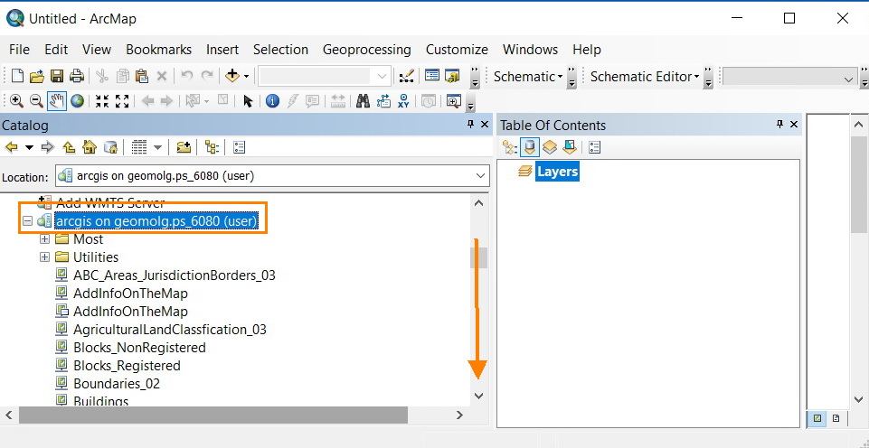
I read this service from public ArcGIS Server: http://geomolg.ps:6080/arcgis/services
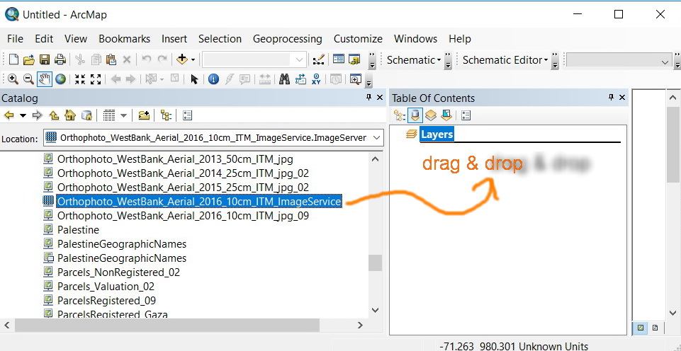
However, when I drag & drop this service, this service took its original coordinate system.
How can I change the current coordinate system in my data-frame, so I can download study zone from this image service with wanted coordinate?
Kindly find the attached screenshots.
Thank you in Advance.
Fatin Rimawi

