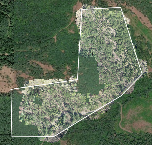
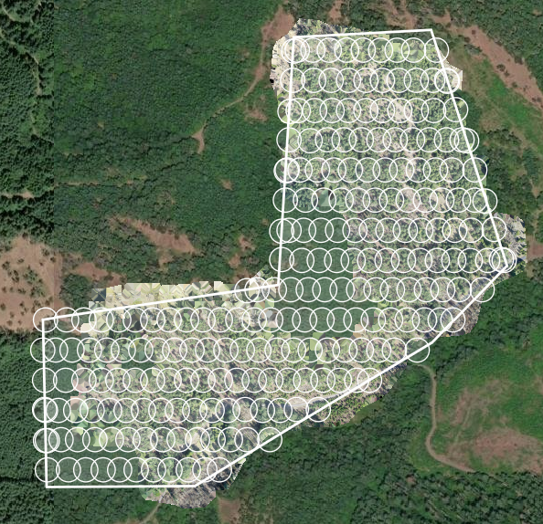
I completed a flight plan in ArcGIS Flight offline in the forest and submitted it into SiteScan for processing, and even though the images were taken correctly over the entire mission area, the orthomosaic has large holes in it and there is a lot of distortion within the orthomosaic, not just around the edges where some distortion might be expected. I tired reprocessing the images multiple times, including uploading them to a brand-new project but nothing changed. This is only my fourth flight in ArcGIS Flight/SiteScan, but my three other flights were larger and more complicated missions and yet they processed fine. Does anyone have any insights and/or ways to combat in the future to avoid re-flights? SiteScan version 4.210.2, ArcGIS Flight version 5.1, DJI Mavic 2 Pro drone, flight plan had terrain aware on and was completely offline and nothing weird happened during the flight. Even though this is only my fourth mission, I have been using this drone for the last year to take imagery and it rarely had issues with processing images to orthomosaics in other software like DroneDeploy.