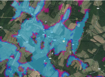
I am trying to create coverage maps for proposed broadband towers. This is my first time researching this and I am looking for a proper workflow to produce a map like the one below. Has anyone come across a good workflow/what know tools will be necessary?
Signed in members can post, follow updates, and more. New here? Register a free account.
Find useful guides, FAQs, and documents to help you navigate and make the most of Esri Community.