ArcGIS Pro 3.4.2
Background:
The Ontario government has lidar raster data available as an image service layer:
https://ws.geoservices.lrc.gov.on.ca/arcgis5/rest/services/Elevation/Ontario_DTM_LidarDerived/ImageServer
I've clicked the ArcMap link to download a layer file: Elevation_Ontario_DTM_LidarDerived.lyr.
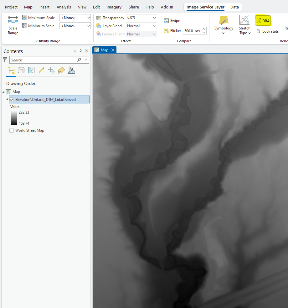
I can open the .LYR file in ArcGIS Pro. The default symbology is "Stretch".
Question:
I want to export the subject area and print it at a large format print shop such as Walmart Photo Centre (Canada). The file requirements are: "...Images in .jpg, .JPG .jpeg, .JPEG, format. Maximum image width is 8000px, maximum image height is 8000px, maximum file size is 16mb."
How can I export the lidar raster image service as a JPG that is a 2:3 aspect ratio, max 8000x8000 pixels, and less than 16mb, while getting as close as possible to those limits to maximize photo quality?



