I am trying to make 3D multipatches of geologic units. I have a TIN of the top and base for each unit, and a polygon that represents each x,y areal extent. I have ensured that the z geometry of the base of each unit is always underneath the top. For each unit, I use "Extrude Between" to make a 3D volume. I am running ArcGIS Pro 3.3.1, but I have been having this same issue on all versions of ArcPro. All of the data is on my local drive. All of the data have defined spatial reference.
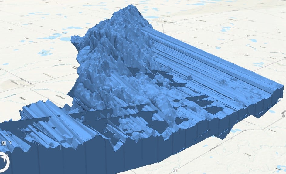
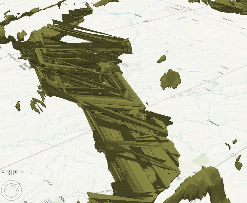
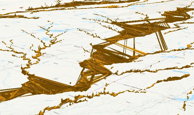
I am getting unpredictable artifacts in the output. Sometimes the output is completely empty, and sometimes it creates only a portion of the polygon area. Oftentimes it returns a multipatch with line artifacts. It seems to happen more often with more complex geometries, but not always. Here are some screenshots of the line-y outputs I am getting:
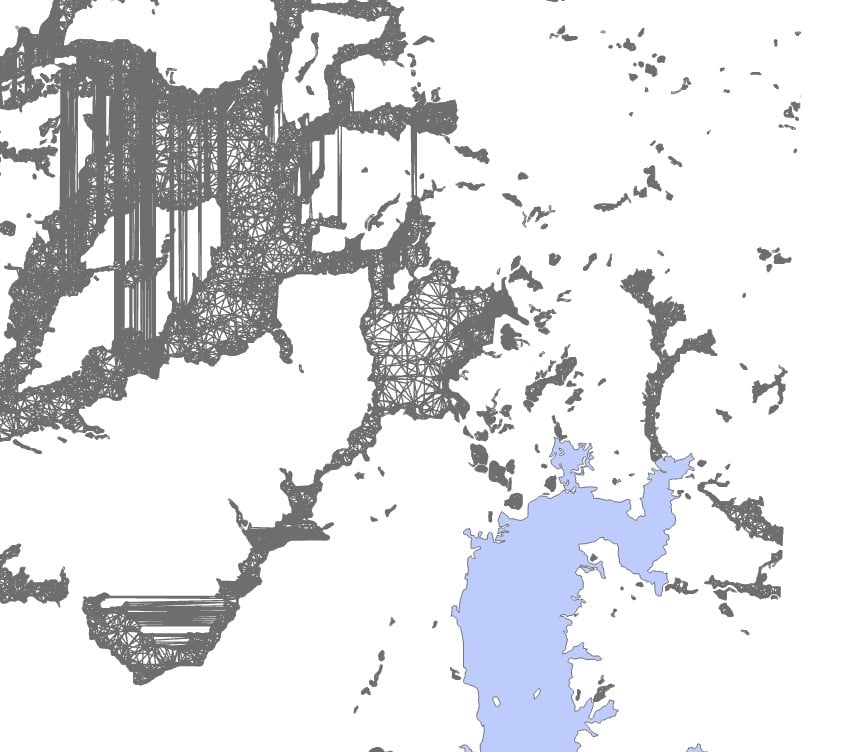
Here is a screenshot of a 2D view of the multipatch and associated polygon area where it created a volume just fine in some areas, completely failed to make a volume in some areas, and created line artifacts in other places.
These are the things I have tried:
- Exploding all multipart features in the input polygon. This sometimes fixes the empty output problem, but not always.
- Buffering the polygon so that the boundaries are not coincident with the TIN. I have tried buffers that are both larger and smaller than the TINs, of varying distances. This does not seem to have any effect at all.
- Simplifying the polygon geometry. This does seem to help, but only when I simplify the polygon so much that it no longer resembles the original.
- Splitting the polygon into smaller chunks. This sort of helps, but I only with some areas of the polygons. Some areas create a 3D volume just fine, and some need to be split into the tiniest chunks to avoid the line-y output. The amount of splitting that I need to do seems random and unpredictable.
- Decimating TIN nodes for the top and base TINs. This has no effect.
- Writing the output to a new file geodatabase. This has no effect.
- Creating new versions of all input files in new file geodatabases. This has no effect.
This issue seems to consistently come up with data from many different projects. Any help would be greatly appreciated!





