I am trying to create a hillshade from a mosaic dataset I created from DEMs for portions of Massachusetts, Connecticut, and Rhode Island. My mosaic raster looks correct, but the hillshade tool creates a strange grid pattern not at all representing the elevation data in the mosaic. I am not sure what would cause this or how to resolve it. Thoughts?

Mosaic DEM above
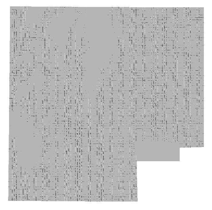
Hillshade product from tool.




